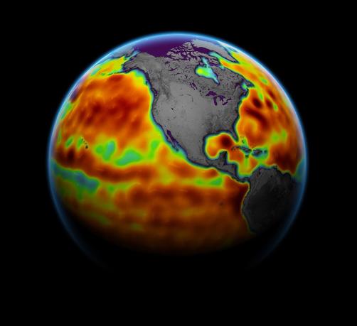
Sentinel-6 Michael Freilich Sea Surface Height
--
https://www.jpl.nasa.gov/images/pia24533-sentinel-6-michael-freilich-sea-surface-height <-- shared page
--
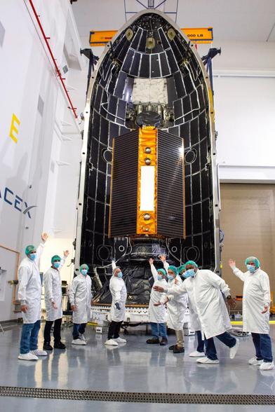
https://www.nasa.gov/sentinel-6 <-- satellite’s home page
--
#GIS #spatial #mapping #remotesensing #satellite #gischat #sentinel #Sentinel6 #MichaelFreilich #earthobservation #sealevel #sealevelrise #SLR #climatechange #GNSS #seasurfaceheight #ocean #marine #global #spatiotemporal #spatialanalysis
#NASA #ESA #NOAA #JPL
--
https://www.jpl.nasa.gov/images/pia24533-sentinel-6-michael-freilich-sea-surface-height <-- shared page
--
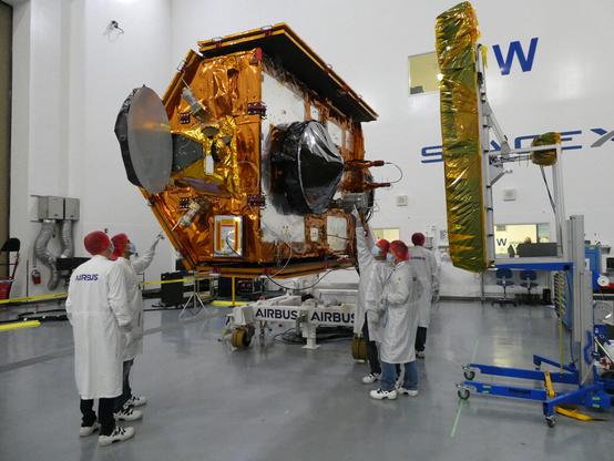
https://www.nasa.gov/sentinel-6 <-- satellite’s home page
--
#GIS #spatial #mapping #remotesensing #satellite #gischat #sentinel #Sentinel6 #MichaelFreilich #earthobservation #sealevel #sealevelrise #SLR #climatechange #GNSS #seasurfaceheight #ocean #marine #global #spatiotemporal #spatialanalysis
#NASA #ESA #NOAA #JPL