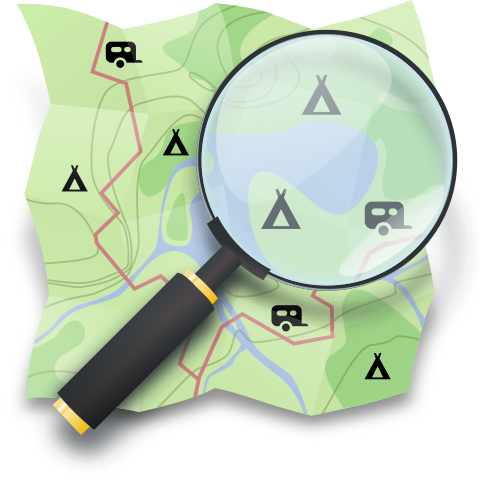
@shelter Na ja in Deutschland meint man ja sogar man müsse Koordinaten von Plätzen geheim halten. Einige Betreiber solcher Plätze hatten ja sogar versucht die eingetragenen Plätze wieder aus OSM zu löschen. Wir haben es hier zeitweise als Sport betrieben die Plätze in der Region zu suchen und in OSM einzutragen :)
Ich habe übrigens #Opencampingmap gebaut weil ich selbst etwas zur Planung meiner Radreisen haben wollte.
@afewbugs Not necessarily commonly used yet, but @mangroveReviews is an open alternative to other review systems. Two ways to access it are via @MapComplete and #OpenCampingMap

#OpenStreetMap Mitwirkende und Camping-Mapper.
Wenn ihr Plätze von diesem Portal https://nomady.camp/ erfasst, dann tragt bitte immer die folgenden tags ein:
* capacity:pitches (weil meistens nur wenige)
* tents, caravans und motorhome (weil nicht immer alle drei zugelassen sind)

Nehmt als name das was auf der Website steht oder den Namen des Hofes zu dem der Spot gehört.

Und bitte als Link immer das verwenden was der Knopf "Teile diesen Spot" in die Zwischenablage kopiert. #OpenCampingMap

Nomady - Naturnahe Campingplätze und Schutzhütten

Die schönsten Campingplätze und gemütlichen Hütten mit privaten Gastgebern. Perfekt für Ihr nächstes Campingabenteuer. Einfach online buchen.

Nomady
Henrik Wolf sent me a nice pull-request for #OpenCampingMap. It is now possible to view GPX-tracks. This is done in a privacy aware way stored in the local storage of the users web browser only. #Openstreetmap
@ambitiousslab Most #openstreetmap software is running on Linux. Almost certainly overkill but if you know about SQL it is possible to setup your own #Postgis based POI database. I have such a beast running as a backend for #opencampingmap see https://poi.openstreetmap.de for details.
#OpenCampingMap UI has now a menu for additional filters as some users requested this on github.
Example: show only sites which are free of charge (osm key/value syntax: fee=no).
I highly doubt that this feature is that useful because a lot of tags are simply missing in #Openstreetmap thus I have no other option in that case than hiding the sites missing the key selected with the filter.
New feature in #OpenCampingMap This time something mostly useful for Motorhome people (thus not for cyclists like me).
Types of sanitary dump stations are now shown (grey-water, chemical-toilet or both).
Example: https://opencampingmap.org/de/way/131713005#18/49.00653/8.48268/1/1
OpenCampingMap

OpenCampingMap is a map of campgrounds based on data from OpenStreetMap

OpenCampingMap
There is one single campsite with a contact:mastodon tag (@Triangel_Camping)
and there are still 31 with contact:twitter (Facebook: 1112, Instagram: 346).
I think I will remove the support in #Opencampingmap anyway as I do not want to support this platform any longer. Just followed the one with the contact:mastodon here on Mastodon.
@gedankenstuecke Thinking about offline use I do not need something dynamic. What I would like to have is geojson files with custom icons. #Garmin has something like this in form of GPI-Files and I already have a workflow to convert my POI from #Opencampingmap to Garmin gpi.
@CoMaps Is it possible to add custom POI Overlays to CoMaps? I would really like to see an #Opencampingmap overlay. I do provide data as geoJSON but can also convert them to other formats if necessary.