The 23-Atomic-Bomb Valley: Why #Utah’s #AIDataCenter Is A #ClimateDisaster In The Making
by Rex Freiberger
Wed, May 20, 2026 at 11:18 AM EDT
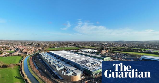
"Your state might be next. Utah counties just approved a data center so massive it would consume more power than the entire state currently uses, dump the heat equivalent of 23 atomic bombs daily into high desert, and potentially increase local #carbon emissions by 55%. Welcome to the #StratosProject—#KevinOLeary’s 40,000-acre bet that #AI supremacy trumps everything else."
[...]
"Utah State University physicist Robert Davies calculated #Stratos would dump 16 gigawatts of #ThermalLoad into the surrounding valley—energy equivalent to 23 Hiroshima-scale atomic bombs worth of #heat every single day. You’re trying to cool massive server farms by blowing hot desert air over hot radiators, Davies notes, which doesn’t work well in high-altitude, arid conditions.
"His projections show daytime temperatures rising 2-5°F and nighttime temperatures jumping 8-12°F across the region. #Desert #ecosystems depend on #NighttimeCooling to generate life-sustaining #condensation. Lose that temperature drop, and you’ve fundamentally altered how plants and animals survive in an already stressed #GreatSaltLakeWatershed."
Read more:
https://www.yahoo.com/news/articles/23-atomic-bomb-valley-why-151828961.html
#Utah #WaterIsLife #ThermalPollution #HeatGeneration #Drought #GreatSaltLake #Environment #EnvironmentalCatastrophe #UtahPol #Datacenters #DatacentersSuck #SharkTank #AISucks