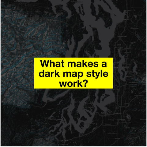
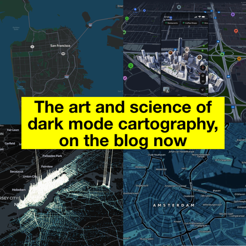
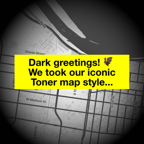
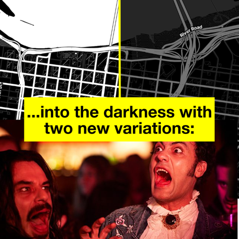
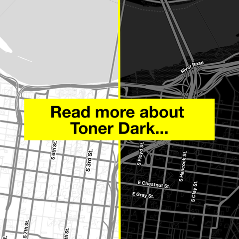
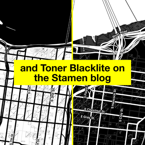
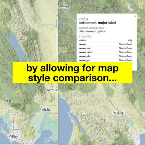
In our latest blog post, we share our philosophy of dark mode basemaps. What are dark maps good for, and why might you need one? How do you design a dark mode map that is both beautiful and functional? All this and more, now on the blog at https://stamen.com/stamens-dark-map-materials/

#maps #darkmode #basemaps #design #cartography

What do we map in the shadows?

Our iconic Toner map style, now in dark mode! Read about how we developed "Toner Dark" and "Toner Blacklite" on the blog now: https://stamen.com/what-we-map-in-the-shadows.

Both styles are available from our friends at @stadiamaps here: https://stadiamaps.com/explore-the-map.

#halloween #maps #DarkMode #toner #basemaps #design #cartography #OpenStreetMap

Over the years, Stamen has built and maintained tools of our own to supplement great tools created by larger carto community. Join us along a cartographic debugging journey as we explore how data, tiles, and stylesheets work together to make beautiful maps.

#maps #basemaps #design #cartography #opensource #maplibre #data #bts

https://stamen.com/debugging-101-with-stamen-carto-tools-and-other-tools-we-like/

Debugging 101 with Stamen Carto Tools (and other tools we like) | Stamen

In vector cartography, the map is only as good as the data that powers it. If we don’t understand what’s going on in the underlying data, we’re pretty limited in our cartographic approach. A major part of this work involves parsing vector tile data, determining how one dataset compares to another, and diagnosing bugs encountered...

Stamen

Now on the blog: how we expanded UCSF’s Health Atlas from California (which we first collaborated on in 2019) to the entire US in 2024, including data and design updates across the entire tool.

Read now at https://stamen.com/taking-ucsfs-health-atlas-national/

#maps #basemaps #design #cartography #ucsf #health #choropleth

Taking UCSF’s Health Atlas National | Stamen

Stamen has been working with a team out of UCSF (University of San Francisco) Population Health and Health Equity to create and maintain their Health Atlas since 2019. You can read a bit about the initial launch in our blog post from 2020. In 2024 we had the opportunity to rebuild the Health Atlas and...

Stamen

On the blog: behind the scenes details on how we’ve migrated Columbia University’s Mapping Historical New York from raster to vector rendering. Read it now on the blog at https://stamen.com/vector-beeswarm-dot-density-with-mapping-historical-new-york/.

#maps #basemaps #design #cartography #columbia #historicalmaps #newyork

Vector Beeswarm Dot Density with Mapping Historical New York | Stamen

Stamen has had the pleasure of developing Mapping Historical New York with Columbia’s Center for Spatial Research since 2021. We’ve written about it a few times, including most recently last fall, but here we wanted to expand on the technical implementation behind one layer on the map. The map displays census data in New York...

Stamen
Overture Maps Data in ArcGIS

ArcGIS Blog

An easy way to create a basic basemap, without GIS software, especially if you want to test orthographic projection oblique perspectives via @RhodesMaps #basemaps

https://www.mapspam.net/orthographic-map-creator/

Orthographic Map Creator – Mapspam

A large collection of high-quality basemaps, in various projections and of different territories, downloadable in SVG from the AB Pictoris library under CC BY-NC 4.0 #basemaps

https://abpictoris.com/fondsdecarte

Fonds de Carte de France et du Monde | AB Pictoris

Explorez notre collection de fonds de carte de France, du monde, et autres régions. Téléchargements gratuits, idéals pour projets éducatifs, professionnels ou personnels. Découvrez des cartes détaillées et personnalisables sur AB Pictoris.

Graticule is a free and easy-to-use tool for creating basemaps by manipulating geographic projections while using graphic design concepts #basemaps

https://www.sciencespo.fr/cartographie/graticule/

Accueil

Un outil libre et gratuit de génération de fonds de cartes du monde, de régions ou de pays