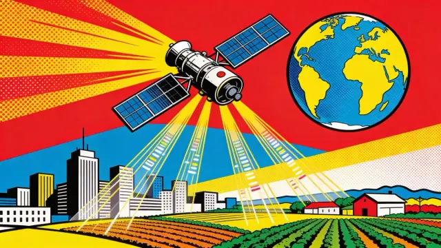
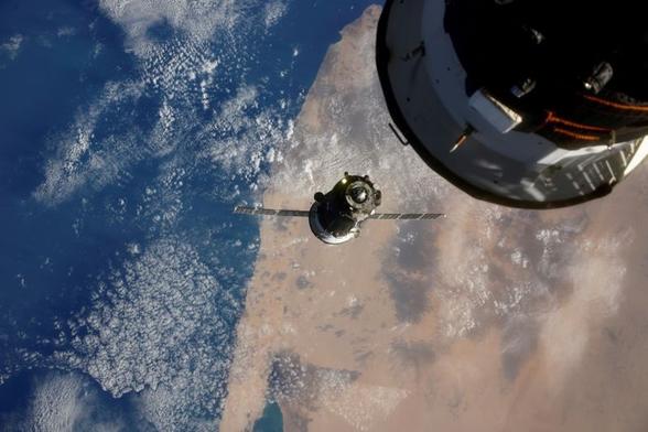
Cities are making it rain more – but not as much as scientists thought | The-14

New research shows cities may increase rainfall frequency, but satellite data suggests the effect is smaller than scientists previously believed overall.

The-14 Pictures

🌍 🛰️ New five-year agreement signed between GÉANT and #EUMETSAT

We are proud to announce the signature of a five-year agreement between GÉANT and EUMETSAT, advancing our long-standing collaboration on #network and #connectivity services to support the global distribution of meteorological #satellite #data for weather forecasting, #climate monitoring, and environmental #research.

🔗Read more: https://connect.geant.org/2026/05/29/geant-to-provide-single-point-of-contact-spoc-and-connectivity-services-to-eumetsat-in-collaboration-with-nrens-for-the-next-five-years

#EUMETcast #satelliteData #Meteorology #EnvironmentalResearch #ClimateMonitoring

GÉANT to provide Single Point of Contact (SPOC) and connectivity services to EUMETSAT in collaboration with NRENs for the next five years | GÉANT CONNECT Online

GÉANT and EUMETSAT, the European Organisation for the Exploitation of Meteorological Satellites, are proud to announce the signature of a five-year agreement, advancing their long-standing collaboration on network and connectivity services to support the global distribution of meteorological satellite data that is essential for weather forecasting, climate monitoring, and environmental research. The new framework will

GÉANT CONNECT Online | The leading collaboration on e-infrastructure and services for research and education

@coreyspowell
10/
In short: It’s not an apocalypse; it’s a data corrective. It proves that the engine room of our planet is a highly active, rapidly changing environment, and it took a constellation of advanced satellites sixteen years of data-crunching to finally reveal what happened right under our feet.

#Geophysics
#Geomagnetism
#EarthsCore
#Geodynamics
#OuterCore
#Geodynamo
#ESASwarm
#CryoSat
#SatelliteData
#EarthObservation
#GeomagneticField
#WorldMagneticModel
#WMM

Africa forward summit: Africa’s space race takes off {Business Africa} http://newsfeed.facilit8.network/TSXYd3 #AfricaForward #SpaceRace #SatelliteData #SkyConnect #BrainGain

Cover-Up Claims Surface as Satellite Data Suggests Significant Iran War Damage

Satellite images show Iran's war damage to US bases is worse than the government said. This affects soldiers and costs billions.

#IranWar, #USMilitary, #SatelliteData, #WarDamage, #MiddleEast

https://newsletter.tf/iran-war-damage-us-bases-satellite-data/

New satellite images suggest Iran hit over 100 targets on 11 US bases, much more than the government first reported.

#IranWar, #USMilitary, #SatelliteData, #WarDamage, #MiddleEast
https://newsletter.tf/iran-war-damage-us-bases-satellite-data/

Iran War Damage More Than Officials Said, Satellite Data Shows

Satellite images show Iran's war damage to US bases is worse than the government said. This affects soldiers and costs billions.

NewsletterTF

Earth's Glow Flickers: Satellites Reveal Nighttime Light's Turbulent Pulse

New satellite data reveals nighttime light flickers, showing dimming in areas like Ukraine and Syria during conflicts. This changes how we see global events.

#NighttimeLight, #SatelliteData, #UkraineConflict, #GlobalEvents, #HumanActivity

https://newsletter.tf/nighttime-light-dims-during-global-conflicts/

Nighttime light in conflict zones like Ukraine has dimmed significantly, showing a clear impact from the ongoing Russian invasion. This is a new way to see global events.

#NighttimeLight, #SatelliteData, #UkraineConflict, #GlobalEvents, #HumanActivity
https://newsletter.tf/nighttime-light-dims-during-global-conflicts/

Satellites Show Nighttime Light Dims During Global Conflicts

New satellite data reveals nighttime light flickers, showing dimming in areas like Ukraine and Syria during conflicts. This changes how we see global events.

NewsletterTF

Spanish startup Xoople raised $130M to build AI-powered earth monitoring systems, bringing total funding to $225M. The company spent seven years in stealth developing data pipelines before launching satellites, partnering with L3Harris for sensors and embedding in Microsoft/Esri platforms first. Commercial launch planned for Q2 2026.

#EarthObservation #SatelliteData #AIInfrastructure

https://www.implicator.ai/spains-xoople-raises-130-million-to-build-a-real-time-ai-data-layer-for-earth/

Xoople Raises $130M Series B for Earth AI Data Layer

Xoople closed a $130M Series B to build 'Earth's System of Record,' an AI data layer tracking physical change globally. With L3Harris building its satellite sensors and Microsoft and Esri distributing its data, the Spanish startup bets enterprise distribution beats launching first.

Implicator.ai
Planet Labs suspend indéfiniment la diffusion d’images satellites du Moyen‑Orient à la demande du gouvernement américain, limitant l’accès public aux vues de la zone de conflit 🛰️
https://fr.investing.com/news/economy-news/planet-labs-suspend-ses-images-satellites-du-moyenorient-a-la-demande-du-gouvernement-americain-3345660
#Space #Science #Innovation #Astrophysics #EarthObservation #PlanetLabs #SatelliteData #ConflictTech #GeoIntelligence
Planet Labs suspend ses images satellites du Moyen-Orient à la demande du gouvernement américain

Planet Labs suspend ses images satellites du Moyen-Orient à la demande du gouvernement américain

Investing.com