🧰 Practical GIS Tools

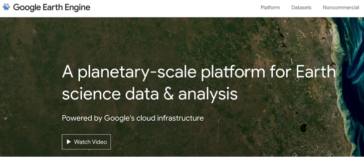
Have you explored Google Earth Engine? 🌍

It’s a planetary-scale platform for accessing and analyzing massive Earth science datasets, all powered by Google’s cloud infrastructure. ☁️📊

Earth Engine empowers researchers, policymakers, and developers to turn geospatial data into real-world insights.

🔗 Start exploring: https://earthengine.google.com/

#GeoTech #GIStools #EarthObservation #GoogleEarthEngine #GeospatialTechnologies #PracticalGIS #RemoteSensing #SpatialAnalysis
🧰 Practical GIS Tools

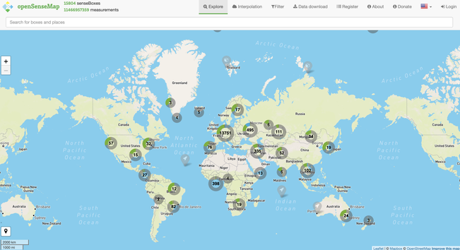
Have you heard of openSenseMap? 🌍
It’s a global platform for visualizing and sharing environmental sensor data in real time, powered by citizen science! 🌱

Whether you’re building a prototype or exploring urban sustainability, openSenseMap is a practical gateway into GeoTech for good.

🔗 Try it yourself: https://opensensemap.org

#GeoTech #GIStools #EnvironmentalMonitoring #openSenseMap #SpatialThinking #GeospatialTechnologies #PracticalGIS #MundusLife #CitizenScience