 💧🌏 Greg Cocks
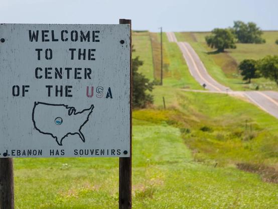
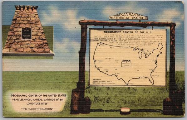
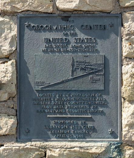
1918 Geographic Center Of The [contiguous] Lower 48 States [CONUS] - Lebanon, Kansas
--
https://clui.org/ludb/site/geographic-center-lower-48-united-states <-- shared technical article
--
https://www.ngs.noaa.gov/PUBS_LIB/GeoCenter_USA1.pdf <-- shared 1959 NOAA technical article
--
https://www.smithsonianmag.com/smart-news/many-centers-united-states-180955253/ <-- shared 2015 technical article
--
https://www.atlasobscura.com/articles/journey-to-the-center-of-the-united-states <-- shared technical media article
--
In 1918, the US Coast and Geodetic Survey attempted to find the center of what was then the United States’ (lower) 48 states. Because they lacked the computing power to process the complex geometry of an irregular, 3D landmass, they placed a carefully scaled map of the 48 conterminous states onto a uniform piece of cardboard. After cutting it out, they determined the geographic center by finding the exact point at which the map balanced perfectly on a pin.
--
#spatial #mapping #USA #Lower48th #center #centre #Lebanon #Kansas #geodetic #geodesy #geography #spatialanalysis #cartography #PinAndCardboard #history #tourism #americana
@NOAA | @USGS | @us Coast and Geodetic Survey
--
https://clui.org/ludb/site/geographic-center-lower-48-united-states <-- shared technical article
--
https://www.ngs.noaa.gov/PUBS_LIB/GeoCenter_USA1.pdf <-- shared 1959 NOAA technical article
--
https://www.smithsonianmag.com/smart-news/many-centers-united-states-180955253/ <-- shared 2015 technical article
--
https://www.atlasobscura.com/articles/journey-to-the-center-of-the-united-states <-- shared technical media article
--
In 1918, the US Coast and Geodetic Survey attempted to find the center of what was then the United States’ (lower) 48 states. Because they lacked the computing power to process the complex geometry of an irregular, 3D landmass, they placed a carefully scaled map of the 48 conterminous states onto a uniform piece of cardboard. After cutting it out, they determined the geographic center by finding the exact point at which the map balanced perfectly on a pin.
--
#spatial #mapping #USA #Lower48th #center #centre #Lebanon #Kansas #geodetic #geodesy #geography #spatialanalysis #cartography #PinAndCardboard #history #tourism #americana
@NOAA | @USGS | @us Coast and Geodetic Survey