Birds seen or heard on our walk today. Ca Quail, Acorn woodpecker, Ca Thrasher, Blue grey gnatcatcher, Black headed grosbeak, Wrentit, Spotted towhee, Ca towhee, Raven, Turkey vulture, Red tail hawk, Scrub jay, Stellars jay, Flicker, Mountain quail, Olive sided flycatcher (see previous post on this), House finch, Violet green swallow, Western bluebird, Annas hummingbird. #birding #Sonoma #Mayacamas
I’m going off-line for a few days. Be mindful of your weather, especially now that we’re in fire season. Below are some links for Napa, Weather, and the Watch duty fire map. of course, @sarahstierch is great for breaking news.
Some of #Napa communities' weather on the National #Weather Services website & Watch Duty #fire map:
#Napa airport: https://forecast.weather.gov/MapClick.php?lat=38.2991&lon=-122.2854#.Y3g9zXbMIYt
#Angwin: https://forecast.weather.gov/MapClick.php?CityName=Angwin&state=CA&site=MTR&lat=38.5771&lon=-122.441#.X-vHtdhKhJ8
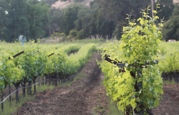
#Mayacamas mountains SSW of St Helena: https://forecast.weather.gov/MapClick.php?lon=-122.50099182128905&lat=38.45681495946778#.YMFHFPlKiCo
#Calistoga: https://forecast.weather.gov/MapClick.php?lat=38.5788&lon=-122.5795
Watch Duty fire map: https://app.watchduty.org/