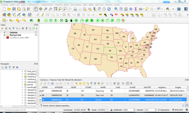
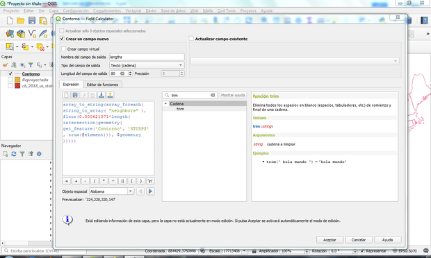
EN:Day 30 of #30Daysofqgis. The accessories are developments of users who make #QGIS a very powerful tool thanks to the flexibility that free software provides. #QGIS is a solid project that provides an opportunity for growth to all professionals in the GIS world.
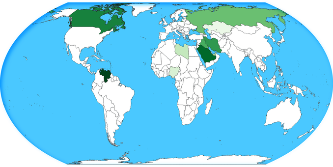
🇻🇪
1/2
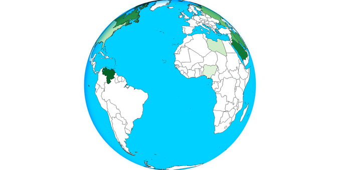
🇻🇪
1/2