@newsorpigal
- 50 Followers
- 1,043 Following
- 1.9K Posts
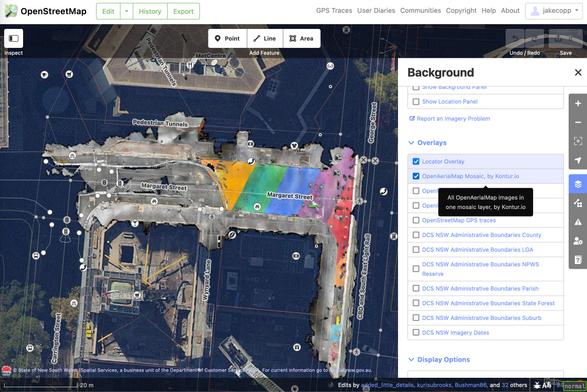
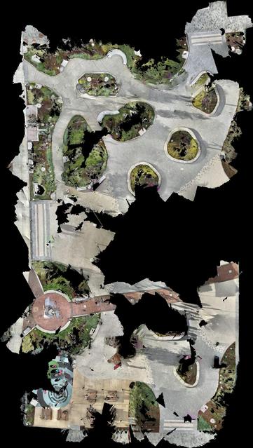
Generating aerial imagery with your iPhone’s LiDAR sensor - Jake Coppinger
This technical guide details how you can create your own aerial imagery and 3D models of streets with the built in iPhone LiDAR sensor and open source tools in the OpenDroneMap package.
Announcement
Full text search is now live on many instances running version v4.2.0 !!!
It is "opt-in", meaning you need to check the "Include public post in search results" box to enable your posts to be searchable: Click Preferences (on right near bottom [gear icon]) >>> Click Public Profile (on left near top [person icon]) >>> Click Privacy and reach box (near top [lock icon]) >>> Under Search (scroll down middle of page)
more...
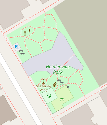
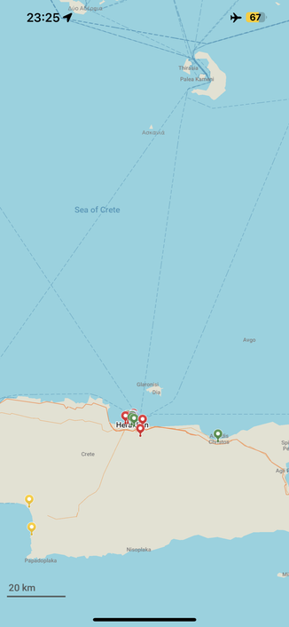
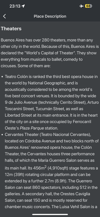
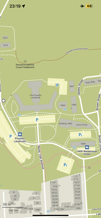
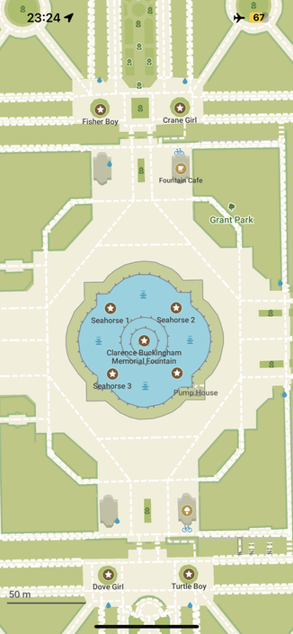
While many are enjoying their holidays, our community and contributors are creating better maps! Thanks ♥️ to everyone who helps and supports us, it motivates us more and more 🚀
August Organic Maps update is available in Google Play, Huawei AppGallery, AppStore, and soon should be available in FDroid too.
Please check the detailed changelog on our website, and enjoy traveling with Organic Maps!
Photo taken during a massive thunderstorm some years ago. We'd been sheltering in a cafe some 10 minutes walk away when the call to prayer began.
I can still almost feel the thickness of the air as I walked to prayer; although the sun was just setting it was very dark already, yet it was still warm enough for t-shirts despite the storm.
My shoes literally did not dry out for days afterwards - and they were the only pair I'd taken with me 😃
#SultanahmetCami #BlueMosque #Mosque #Masjid #Islam #Istanbul #Türkiye #Storm #Photography
According to FediDB, the number of active #Fediverse users has grown by almost a third in one month!
+540,599 to now 1,948,390!
Sounds like the Fediverse needs a conference! Fortunately, we have the second FediForum coming up in September!
