My new book arrived !!! #maps #maphistory #cartography — yay!!! 140 pages of scholarly goodness(?) on the history of the study of early maps by comparative map historians! New ideas re cartobibliography etc!!
Map historian and geographer. Mostly thoughts and news re map history. #maps #maphistory
Osher Professor in history of cartography, University of Southern Maine. Director, History of Cartography Project, University of Wisconsin–Madison.
Blogs at mappingasprocess.net
Occasional pretty images, sci-fi nerdery, and things I find funny (if former social media is anything to go by)
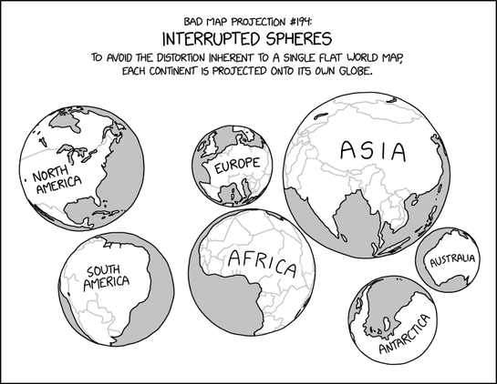
title text: During the most recent glacial maximum, it's believed that land bridges extended from the surfaces and connected several of the spheres together.
(https://xkcd.com/3122)
(https://www.explainxkcd.com/wiki/index.php/3122)
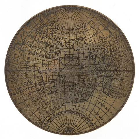
New release from British History Online:
A high resolution tif of the Agas Woodcut Map of London, circa 1562.
Licensed as Creative Commons Zero and available to download from our Github Repository:
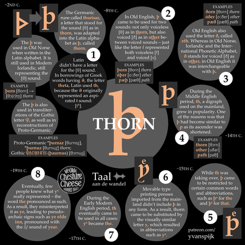
The word 'ye' in names such as Ye Olde Inn ('the old inn') was originally simply pronounced 'the'.
The pronunciation with y is due to a misinterpretation of the first letter.
'Ye' originated as a second-best way of writing 'þe'. The first letter, þ, was called thorn. It was a letter for the th sound that originated in Old English.
Where did þ come from? How did it disappear? And why was it substituted by y in the word 'ye'?
Click my new infographic to read all about it:
Source:
Otto Neurath, *Bildstatistik nach Wiener Methode in der Schule* (Vienna, Leipzig: Deutscher Verlag für Jugend und Volk, 1933), 31.
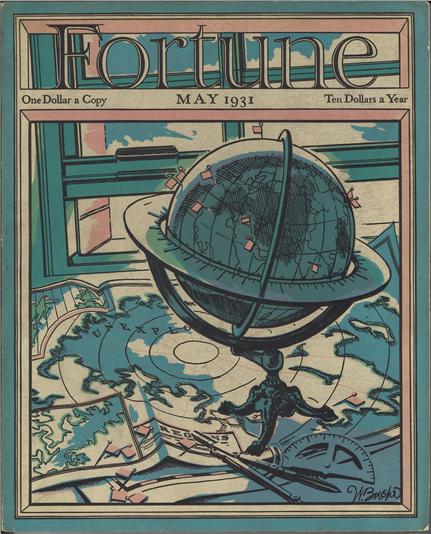
I have long been amused by the use of #globes as props for "the precociously smart child" in TV and film. I am now validated by no less a figure than Otto Neurath (1933):
"The globe is also increasingly becoming a decorative item and is used, for example, by theater and film directors to mark the room of a scholar, although hardly anyone today believes that he or she is actually studying on the globe."