| GITHUB | https://github.com/ragnarheidar |
| CODEPEN | https://codepen.io/ragnarheidar |
| SPONSORING | QGIS | OSGeo | Even Rouault |
Ragnar Heiðar Þrastarson
- 1.4K Followers
- 499 Following
- 356 Posts
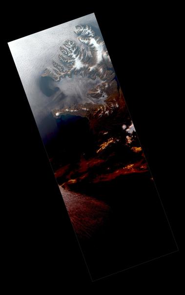
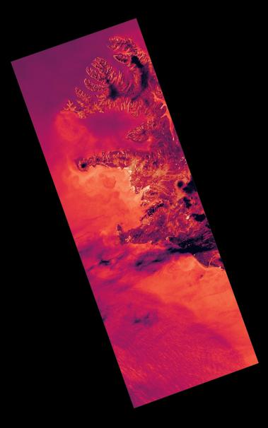
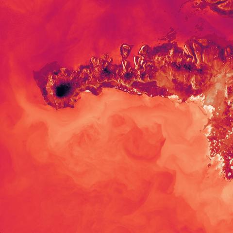
Ascending orbits for visual spectrum #satellite images are usually not of interest for most (nighttime images). But for high latitudes in early summer, they can give great results 😍
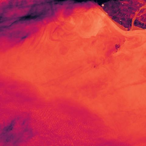
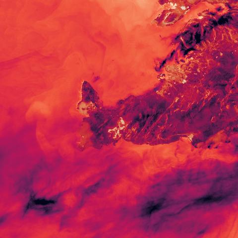
This is #Landsat9 brightness temperature from band 10 at 22:30 UTC last night over #Iceland
Darker is colder 🌡️
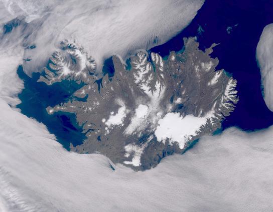
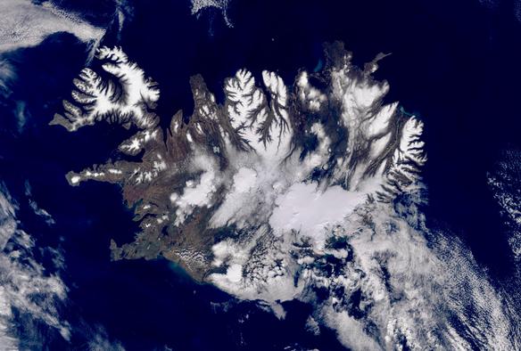
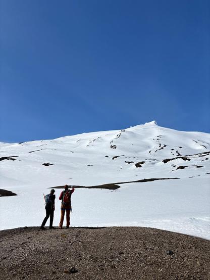
This spectacular image of #Iceland was acquired by #Sentinel3 last Saturday. Perfect conditions to hike on top of #Snæfellsjökull glacier with some friends.
The latter part of winter was warm and light in terms of snowfall. The April mean temperature was also one of the hottest on record (4/180).
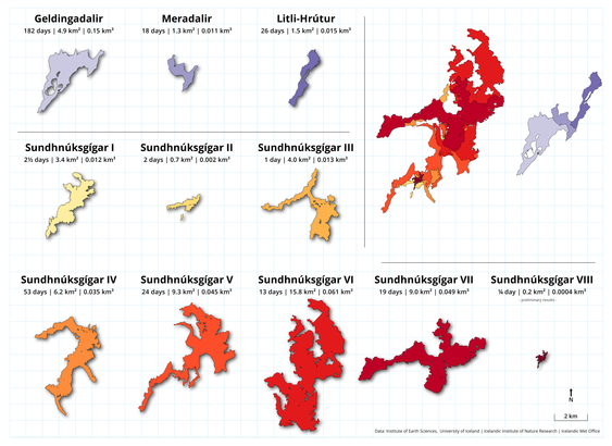
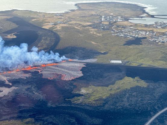
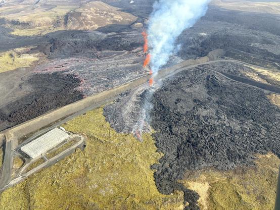
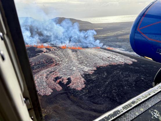
And there we have it. The 8th eruption from the #Svartsengi magma reservoir. By far the smallest one in terms of eruption time, area and volume.
Updated lava comparison map that also includes the #Fagradalsfjall eruptions.
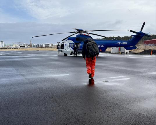
On helicopter duty this morning 🌋
Collaborative effort 🤝
- Veðurstofa Íslands - Icelandic Met Office
- Institute of Earth Sciences, University of Iceland
- Icelandic Coast Guard
- Iceland Civil Protection
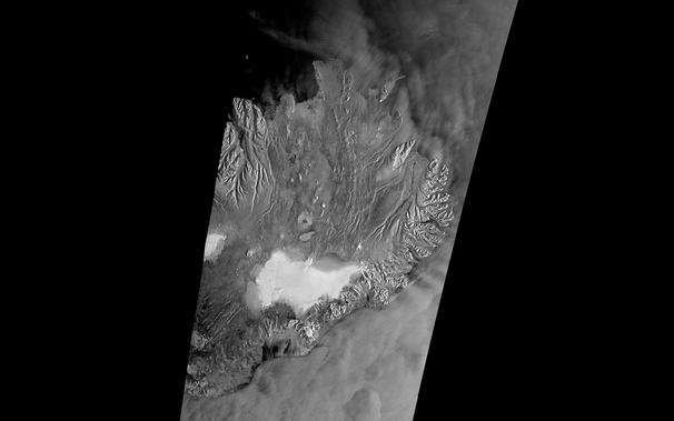
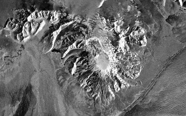
Hello Sentinel-1C 👋🏻🛰️
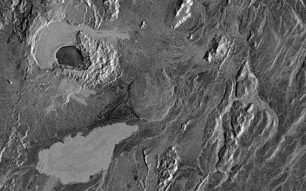
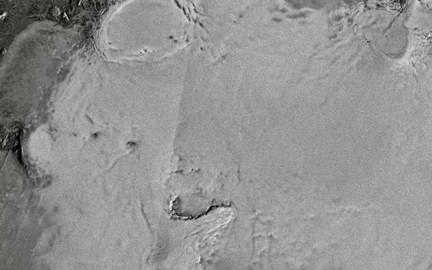
We have a new #Sentinle1 #SAR satellite delivering data. 1C has joined 1A in orbit and data is now available. Here is an IW mode image from this morning of #Iceland - VV polarization with logarithmic scaling (good for surface roughness). Images from #Copernicus Browser 🙏🏻😍
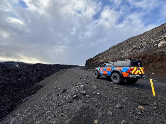
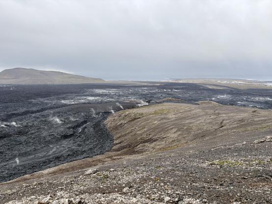
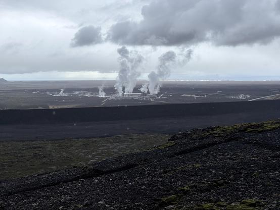
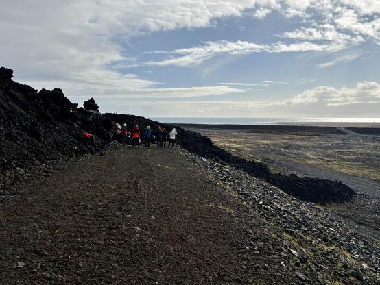
Some field work today with Civil Protection near #Grindavik and #Svartsengi
Looking at lava barriers and cleaning some webcam lens covers. Trying to be as prepared as possible for the next one 🌋
