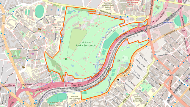
I started an iNaturalist project about #Barrambin / Victoria park:

https://www.inaturalist.org/projects/barrambin-victoria-park

Would be great to have others in #Meanjin / #Magandjin / #Brisbane get out to the park and record more of the biodiversity that can be found there!

#BNE

After the Labour Day March, went for a stroll to record some observations. I got 39, including plants, birds, insects, reptiles, arachnids and fungi.
https://www.inaturalist.org/projects/barrambin-victoria-park?tab=observations
If you are around #Barrambin / #VictoriaPark (or close enough, e.g. Spring Hill, Bowen Hills, the Valley, Herston, Kelvin Grove...), please consider dropping by every so often and recording what you see.
Barrambin / Victoria Park

Recording the biodiversity of Barrambin / Victoria Park. Started in April 2026 at 569 observations of 224 taxa. This project includes observations from two iNaturalist "places": - the first version of the park extent: https://www.inaturalist.org/places/victoria-park-barrambin-brisbane-australia - another park extent created for this project, based on the OpenStreetMap extent, which includes the section along Victoria Park Road, under the QUT campus. It has a 50 m buffer added to catch observations at the margins of the park, or that end up outside of the park because of position inaccuracy: https://www.inaturalist.org/places/barrambin-victoria-park-extended

iNaturalist

I asked GIICA for plans for the stadium and watersport venues at #Barrambin / #VictoriaPark and this is what they replied:

"While we are unable to provide a detailed map or plans of all buildings and amenities at this time, we have attached an overhead view of the precinct that shows access changes and fence lines from 1 June 2026."

So... they are fencing off most of the park on 1st of June, but can't show us plans of what will be built?

This is the map of what they plan to fence off in June.

Today, and every Friday before June, you can meet other activists at the park, and share some food:

- Every Friday in May
- 4 to 6 pm
- Near barbecues next to the function centre / driving range

Location on OSM: https://www.openstreetmap.org/?mlat=-27.450752&mlon=153.022503#map=18/-27.450752/153.022503

Here's the announcement on Facebook: https://www.facebook.com/savevictoriaparkbarrambin/posts/join-us-every-friday-afternoon-in-may-for-a-relaxed-byo-community-get-together-i/1305989191718519/

I'll be there if you want to say hi! 😃

#Barrambin #VictoriaPark #Meanjin #Magandjin #BNE #Brisbane

OpenStreetMap

OpenStreetMap is a map of the world, created by people like you and free to use under an open license.

OpenStreetMap