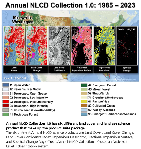
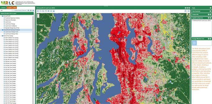
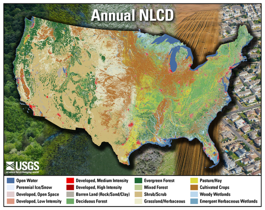
USGS Releases New Products That Map Four Decades Of Land Cover Change [NLCD]
--
https://www.usgs.gov/news/national-news-release/usgs-releases-new-products-map-four-decades-land-cover-change <-- shared technical article
--
https://www.usgs.gov/annualNLCD <-- shared NLC Annual product web site
--
#GIS #spatial #mapping #Nation #remotesensing #NLCD #landcover #change #AnnualNLCD #spatialanalysis #spatiotemporal #impervious #spectral #opendata #USGS
@USGS
--
https://www.usgs.gov/news/national-news-release/usgs-releases-new-products-map-four-decades-land-cover-change <-- shared technical article
--
https://www.usgs.gov/annualNLCD <-- shared NLC Annual product web site
--
#GIS #spatial #mapping #Nation #remotesensing #NLCD #landcover #change #AnnualNLCD #spatialanalysis #spatiotemporal #impervious #spectral #opendata #USGS
@USGS
USGS Releases New Products that Map Four Decades of Land Cover Change | U.S. Geological Survey
RESTON, Va. — The U.S. Geological Survey today released a newly updated and improved National Land Cover Database, known as Annual NLCD, which offers insights into the changing characteristics of landscapes across the conterminous United States from 1985 to 2023.


