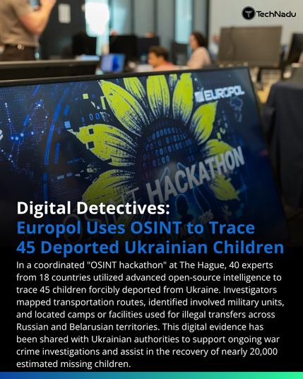
Europol’s recent OSINT operation in The Hague (April 2026) provides a fascinating look at multi-jurisdictional data synthesis. 40 experts utilized advanced scraping, geolocation, and visual analysis to track movements across hostile borders.
The focus on "code churn" in the digital trails left by military and administrative units allowed the team to generate 45 actionable intelligence reports.
For the OSINT community: What specific tools are you finding most effective for cross-border geolocation in active conflict zones?
Join the technical discussion below. Follow for more updates on digital intelligence methodologies.
#OSINT #InfoSec #Europol #OpSec #ThreatIntel #DigitalForensics #Technadu