Also how am I only now finding out that a selection of the NLS's brilliant historic map archive is available as a tileset for your favourite GIS applications?? Includes 19th century 1" and 6" OS maps for Scotland and Roy Military Survey Gazetteer from the 1740s!
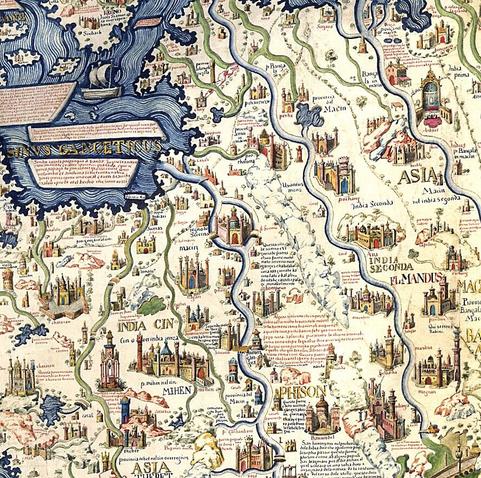
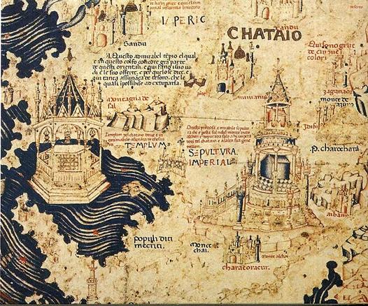
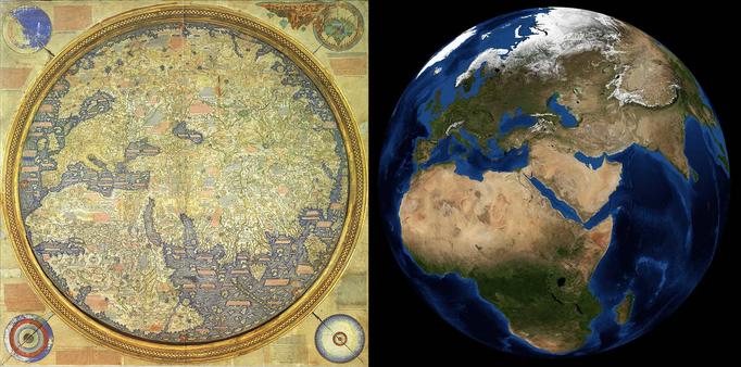
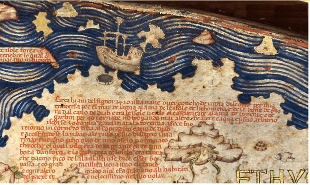
How A Venetian Monk Created The First Annotated Map Of The World
--
https://lithub.com/how-a-venetian-monk-created-the-first-annotated-map-of-the-world/ <-- shared technical article
--
#GIS #spatial #mapping #map #history #cartography #medieval #mappamundi #geography #cartographer #annotations #scientific #mapmaking #culture #sources #background #interpretation #bibliography #information #encyclopedia #observation #groundtruthing #historic #historicmaps #historicmapping #historicaldata #references
--
https://lithub.com/how-a-venetian-monk-created-the-first-annotated-map-of-the-world/ <-- shared technical article
--
#GIS #spatial #mapping #map #history #cartography #medieval #mappamundi #geography #cartographer #annotations #scientific #mapmaking #culture #sources #background #interpretation #bibliography #information #encyclopedia #observation #groundtruthing #historic #historicmaps #historicmapping #historicaldata #references