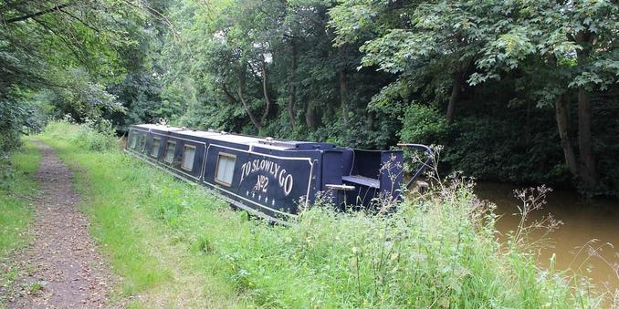
HomeExplore
narrowbotrJan 14, 2025

πŸ“: Bridge 155, Forge Bridge
ℹ️: track bridge
πŸ—Ί: https://www.openstreetmap.org/?mlat=53.1298290752686&mlon=-2.38066057393854#map=17/53.1298290752686/-2.38066057393854
πŸ“Έ: Photo by Wildlife Terry on Flickr https://www.flickr.com/photos/44510888@N05/28779734385

#canal #narrowboat #england #uk #flickr #trentandmerseycanal #wheelocksandbachcheshire #forgefields #towpathwalks #kingslockmiddlewich #prestonbrook #summer #july #star #trek #starship #toboldlygo #warp #speed #cheshireringcanalswalk

OpenStreetMap

OpenStreetMap is a map of the world, created by people like you and free to use under an open license.

OpenStreetMap

Trends:

  • BoringNostradamusProphecies339
  • GeologyTVandShows2
  • ζ–°ζ˜₯フォローη₯­γ‚Š20266
  • ε₯½γγͺγƒγ‚±γƒ’γƒ³ζ›Έγ„γ¦γ‘θ¦‹γŸδΊΊγ‚‚εΌ·εˆΆ42
  • TuneTuesday48
  • InternationalAsexualityDay5
  • fieldsmountainsvalleys43
  • MonochromeMonday9
  • η„‘θ¨€γ§ζˆ‘γͺγŒγ‚‰γ‹γ‚γ„γ„γ¨ζ€γ†η΅΅γ‚’θΌ‰γ›γ‚‹22
  • wolink79