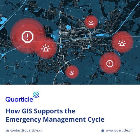
From preparedness to response and recovery, geospatial technology plays a crucial role at every stage of the emergency management cycle.
In our blog post, we explore how GIS helps emergency teams:
✔️ Model disaster risk before it strikes
✔️ Coordinate a faster, more informed response
✔️ Assess damage and plan recovery with precision
📖 Read the full post: https://quarticle.ro/blog/how-gis-supports-the-emergency-management-cycle
#GIS #EmergencyManagement #DisasterResponse #RiskModeling #Geospatial #Insurtech #CrisisPlanning #Quarticle