The 50 largest canyons in the USA by land area
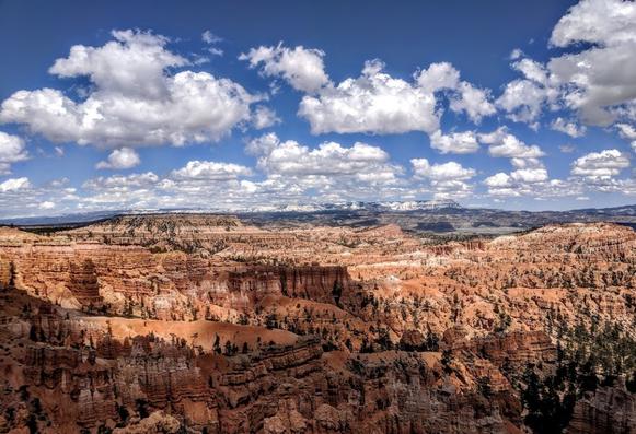
Bryce Canyon, UtahBelow are the 50 largest canyons in the United States, ranked by land area. Using chat.openai.com, the list was generated and known errors were removed/corrected. *In addition, several parks containing multiple canyons, like Canyonlands, Cedar Mesa, Zion, Bryce, and Grand Staircase, it appears the figure given is for the total area of all canyons within the park.
Also, please note the following comments provided from chat.openai.com:
“To create the list of the largest canyons in the US by land area, I [chat.openai.com] used publicly available data sources, including topographic maps and satellite imagery, to determine the approximate boundaries of each canyon. I [chat.openai.com] then calculated the land area enclosed within these boundaries using geographic information system (GIS) software, which is commonly used for spatial analysis and mapping.
It’s important to note that measuring the area of a canyon can be challenging, as the canyon boundaries may be irregular and difficult to define precisely. Additionally, there may be overlap between different canyons, and the boundaries of some canyons may be disputed or subject to interpretation. Therefore, the measurements provided in the list are approximate and may vary depending on the data sources and methods used.”
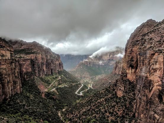
Zion Canyon in Zion National Park, UtahArizona and Utah lead the pack with 13 of the canyons listed either fully or partially located with those two states. Idaho and Nevada have four, while California, Colorado, and New Mexico follow with three each. The only representatives in the top 50 from east of the Mississippi River are in Alabama and Pennsylvania.
As always, any corrections, additions, or suggestions are most welcome.
Peace!
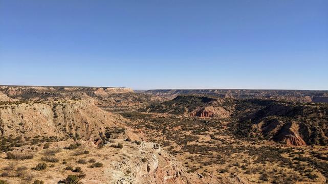
Palo Duro Canyon, Texas_______
Other notable canyons added for reference/comparison
- Snake River Canyon – Idaho ~ 50 square miles
- New River Gorge – West Virginia ~ 20.8 square miles
- Cross Canyon (Canyon of the Ancients) – Colorado – 19.9 square miles
- Niagara River Gorge – New York/Ontario ~ 19.1 square miles
- Papoose Canyon (Canyon of the Ancients) – Colorado/Utah – 17.7 square miles
- Cahone Canyon (Canyon of the Ancients) – Colorado – 14.3 square miles
- Grand Canyon of the South (Breaks Interstate Park) – Kentucky/Virginia – 10.3 square miles
- McKittrick Canyon (Guadalupe Mountains National Park) – Texas – 8.8 square miles
- Canyons of Big Bend National Park – Texas/Mexico – unknown
The canyons shown in italics, the blog author has visited/seen.
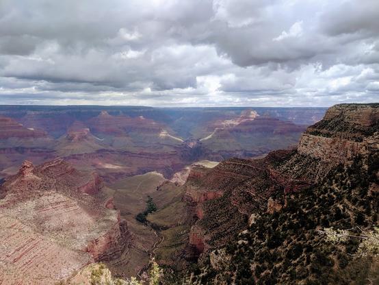
Portion of the Grand Canyon, ArizonaSOURCES:
- chat.openai.com with corrections made for known errors
- en.wikipedia.org
- google.com
- https://en.wikipedia.org/wiki/Canyons_of_the_Ancients_National_Monument
- https://en.wikipedia.org/wiki/McKittrick_Canyon
- https://www.appalachianhistory.net/2017/08/grand-canyon-of-south.html