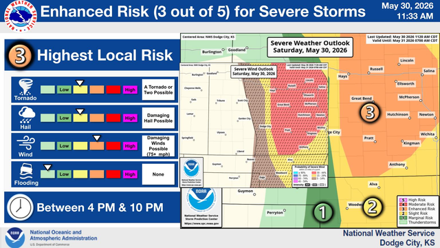
 NWS Storm Prediction Center
The Storm Prediction Center issues Day 2 Convective Outlook (Max Risk: Marginal) at May 30, 17:33z
https://www.spc.noaa.gov/products/outlook/archive/2026/day2otlk_20260530_1730.html
The Storm Prediction Center issues Day 2 Convective Outlook (Max Risk: Marginal) at May 30, 17:33z
https://www.spc.noaa.gov/products/outlook/archive/2026/day2otlk_20260530_1730.html
The Storm Prediction Center issues Day 2 Marginal Convective Risk at May 30, 17:33z for portions of MPX
https://www.spc.noaa.gov/products/outlook/archive/2026/day2otlk_20260530_1730.html
MPX issues Area Forecast Discussion (AFD) at May 30, 12:33 PM CDT
https://mesonet.agron.iastate.edu/p.php?pid=202605301733-KMPX-FXUS63-AFDMPX
NHC issues Tropical Weather Outlook (TWO) at May 30, 11:00 AM PDT
https://mesonet.agron.iastate.edu/p.php?pid=202605301800-KNHC-ABPZ20-TWOEP
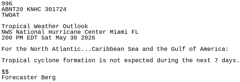
NHC issues Tropical Weather Outlook (TWO) at May 30, 2:00 PM EDT
https://mesonet.agron.iastate.edu/p.php?pid=202605301800-KNHC-ABNT20-TWOAT
MHX issues Marine Warning [wind: >34 KTS, hail: 0.00 IN] for S of Cape Lookout NC to Surf City NC out to 20 NM, Waters from Cape Lookout to Surf City NC from 20 to 60 NM [AM] till 2:15 PM EDT
https://mesonet.agron.iastate.edu/vtec/f/2026-O-NEW-KMHX-MA-W-0057_2026-05-30T17:20Z
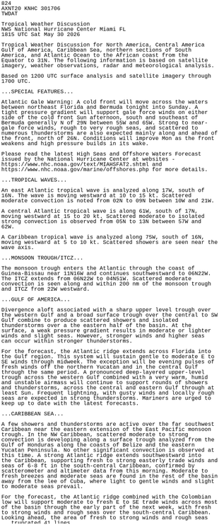
NHC issues Tropical Weather Discussion (TWD) at May 30, 6:15 PM UTC ...SPECIAL FEATURES...
https://mesonet.agron.iastate.edu/p.php?pid=202605301815-KNHC-AXNT20-TWDAT
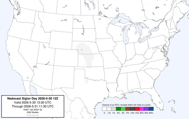
Attached: 1 image #Nadocast #Tornado #wx 12z Day #SigTornado Forecast
 NWS Twin Cities Bot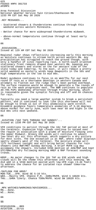
 National Hurricane Center Bot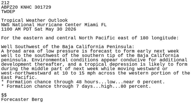
 NWS Newport/Morehead City Bot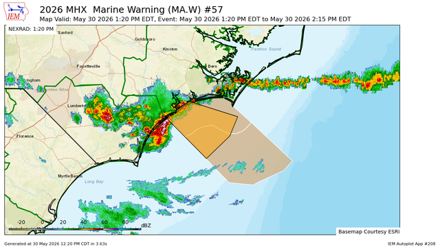
 WX Story (bot)
 Keep Munsee Weird!