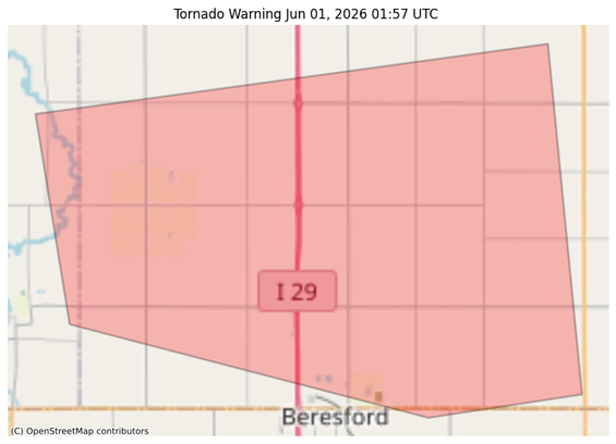
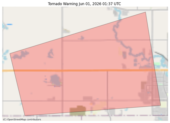
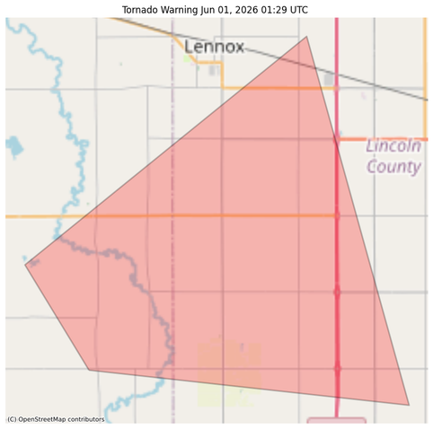
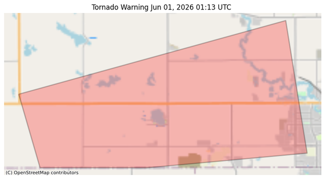
#NWS #tornado Tornado Warning for Lincoln, SD; Turner, SD #SDwx
TORFSD
The National Weather Service in Sioux Falls has issued a
* Tornado Warning for...
Southwestern Lincoln County in southeastern South Dakota...
Southeastern Turner County in southeastern South Dakota...
* Until 945 PM CDT.
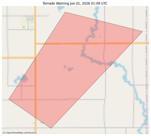
* At 857 PM CDT, a confirmed tornado was located near Centerville, or
8 miles northwest of Beresford, moving east at 10 mph.
HAZARD...Damaging tornado and ping pong ball size hail.
SOURCE...Weather spotters confirmed tornado.
IMPACT...Flying debris will be dangerous to those caught without
shelter. Mobile homes will be damaged or destroyed.
Damage to roofs, windows, and vehicles will occur. Tree
damage is likely.
* The tornado will be near...
Beresford around 900 PM CDT.
https://forecast.weather.gov/MapClick.php?lon=-96.776&lat=43.160