⌛️ There is still time to enter the State of the Map US Narrative Map Competition, a worldwide call for geospatial storytelling that puts open data front and center.

📝Register by May 15
🗺️Submit your story by June 1

Learn more. https://state-of-the-map-us-story-map-competition-global-community.hub.arcgis.com/

#SOTMUS26 #StoryMaps

Do you use #OpenStreetMap #data to support your community’s infrastructure, natural resources, civic services, or resiliency in disaster scenarios?

Show us your story—with maps. 🗺️

Details: https://openstreetmap.us/news/2026/04/narrative-map-competition-launch/

#SOTMUS26 #OpenStreetMapUS #StoryMaps

Join OSM US & Esri for a #MappyHour on Wednesday, May 6th, from 8 - 9 pm EDT to demonstrate how the world's largest collaborative map shows up in the tools you use every day: #ArcGIS, #StoryMaps, #Living Atlas, and more. If Esri is part of your professional or academic toolkit and you're looking to access OpenStreetMap data through their platforms, this Mappy Hour was created with you in mind!

Save your spot: https://openstreetmap.app.neoncrm.com/np/clients/openstreetmap/event.jsp?event=221&

📣 Big news! 📣

In partnership with Esri, we’re launching the State of the Map US Narrative Map Competition, a worldwide call for geospatial storytelling that puts open data front and center.

Get the details in this blog post: https://openstreetmap.us/news/2026/04/narrative-map-competition-launch/

📝Register by May 15
🗺️Submit your story by June 1

Visit the official site 🔗 https://state-of-the-map-us-story-map-competition-global-community.hub.arcgis.com/

#StateoftheMapUS #SOTMUS #SOTMUS26 #StoryMaps

Join the State of the Map US Narrative Map Competition!

This year, we’re excited to bring a new twist to State of the Map US! In partnership with Esri we’re launching the State of the Map US Narrative Map Competition, a worldwide call for geospatial storytelling ...

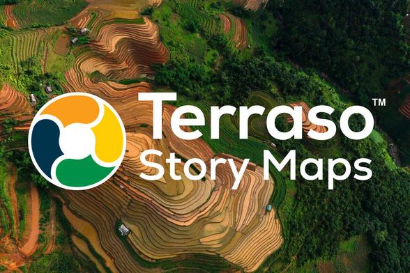
📍 Does your community have a story worth telling?

Join us on March 25 at 10am EDT / 6pm EAT for a free webinar on Terraso Story Maps — an #opensource tool built for place-based storytelling. https://terraso.org/terraso-story-maps/webinar/

Perfect for:
🌿 Environmental #storytelling
📊 Nonprofit impact reporting
📣 Environmental & social advocacy

No cost. No catch. Just powerful tools to help your community's story reach the people who need to hear it.

🔗 RSVP here: https://terraso.org/terraso-story-maps/webinar/

Can't make it live? Sign up anyway — we'll send you the recording!

#storymaps

Webinar - Terraso

Terraso

Storytelling with Interactive 3D Presentations using Cesium Stories

https://videos.qwast-gis.com/w/8PZS7Ni98ygVzFCDQE9bBW

Storytelling with Interactive 3D Presentations using Cesium Stories

PeerTube

America's biggest classroom? Every year, hundreds of thousands of American schoolchildren visit Washington, D.C. on overnight trips as part of their school curriculum. Lauren Rever transforms the stories behind these trips into data-driven information using #ArcGIS #StoryMaps.

Here are her lessons learned from embarking on a #DigitalHistory project. 👇

https://href.hypotheses.org/5298