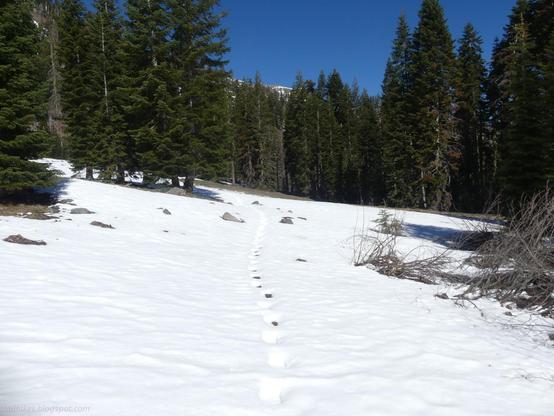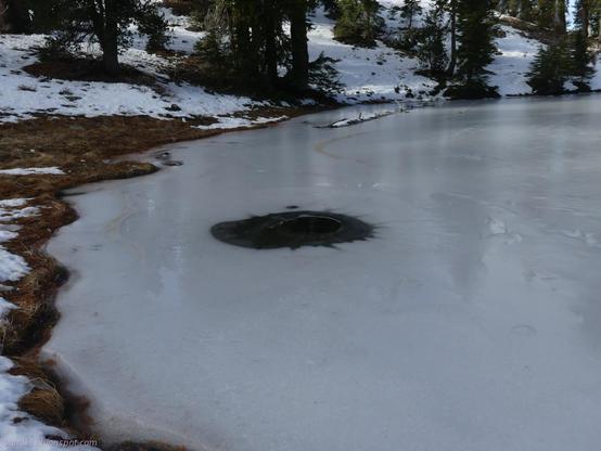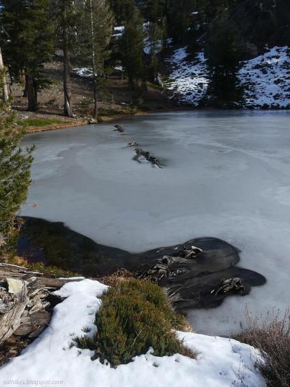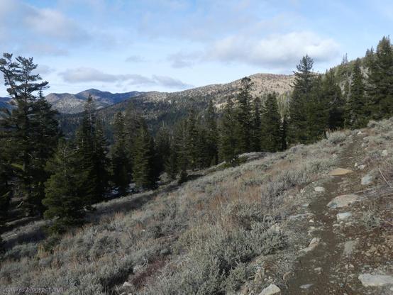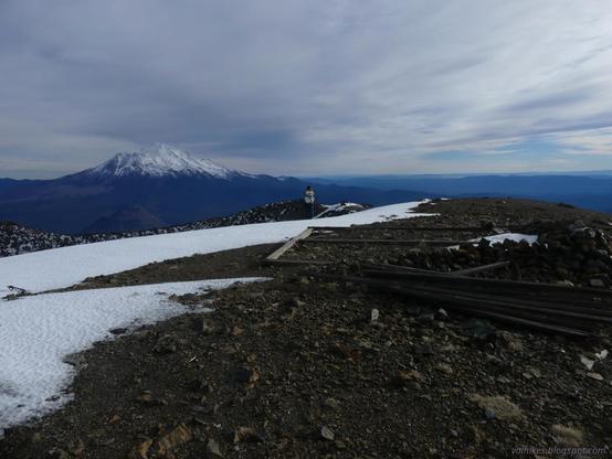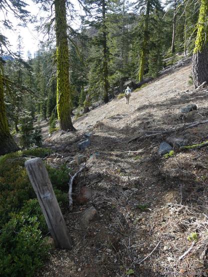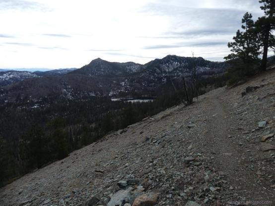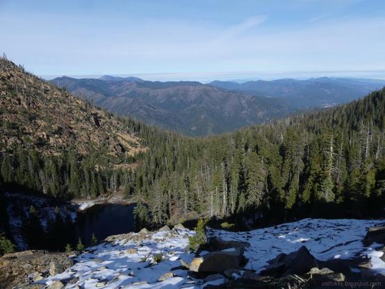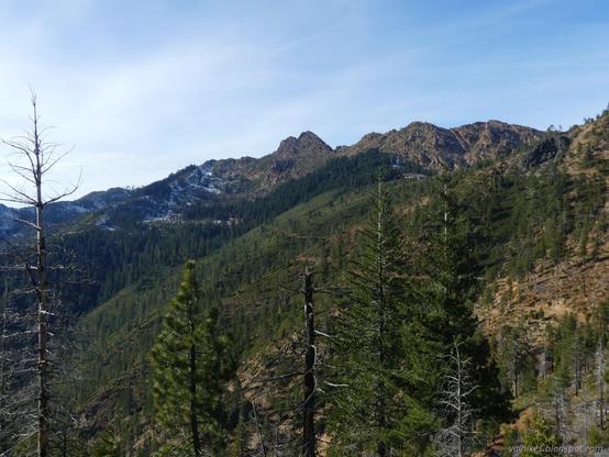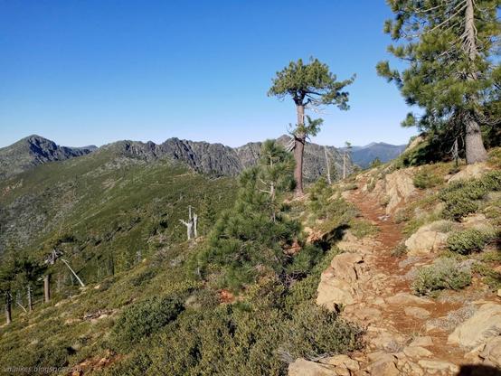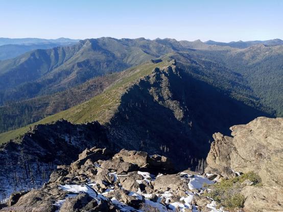

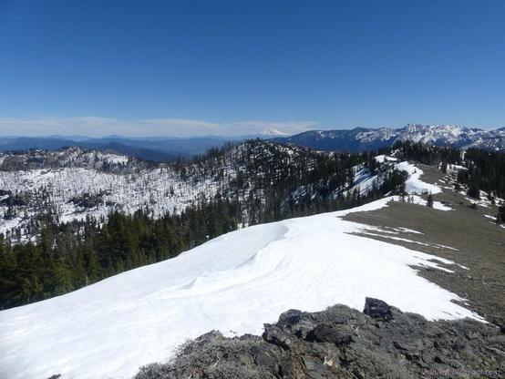
The Pacific Crest Trail was looking a lot easier to travel as we left than when we passed the day before.
#footpathFriday
I finished up another set of backpacking posts, but am busy so might not get to advertising them before wandering off to more adventure.
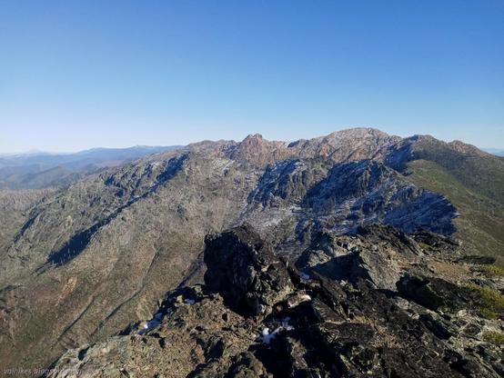
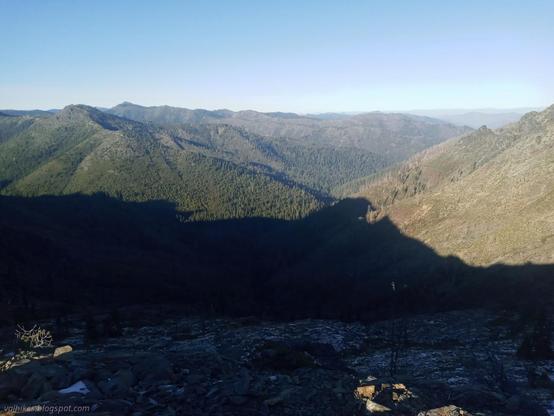
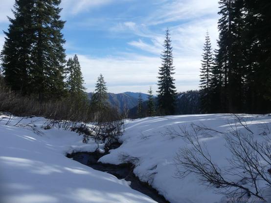
#California #SiskiyouCounty #MarbleMountainWilderness #KlamathNationalForest #PCT #PacificCrestTrail