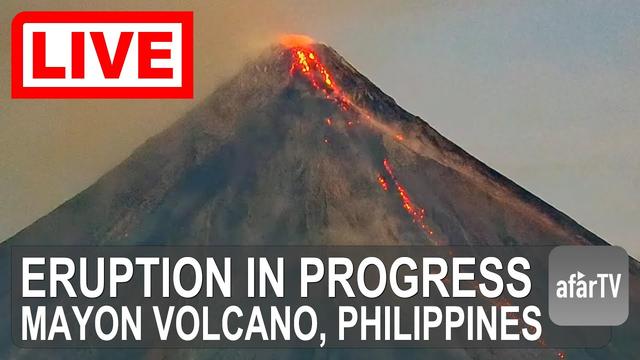
ASHFALL AFFECTED BARANGAYS.
https://philsa.gov.ph/news/satellite-data-show-barangays-affected-by-ashfall-from-mayon
#philippines #mayon #ashfall #PhilippinesVolcano #mastodon #fediverse
Satellite data show barangays affected by ashfall from Mayon - Philippine Space Agency (PhilSA)
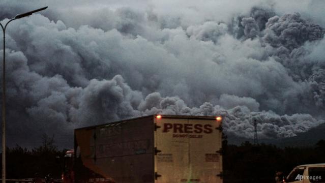
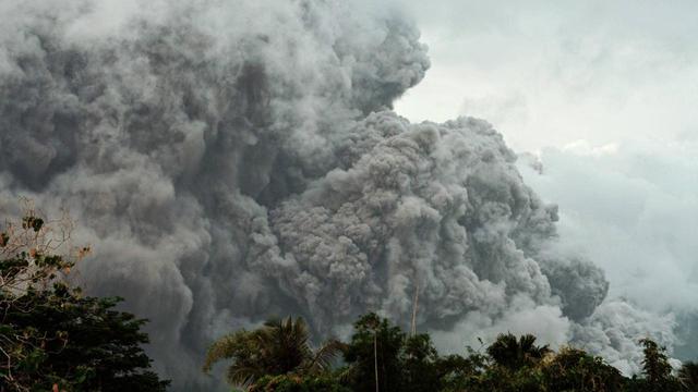
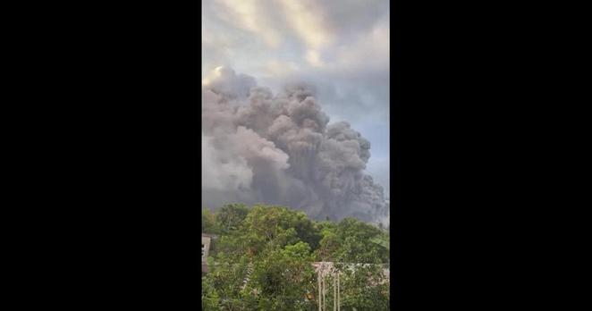
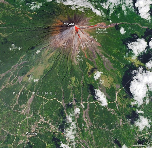
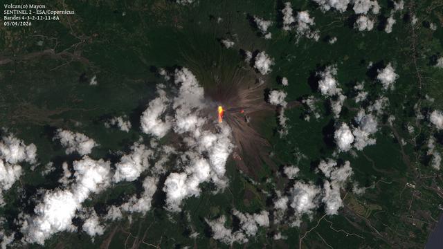
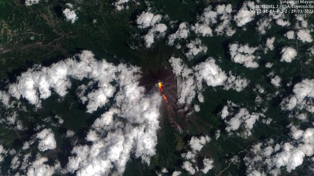
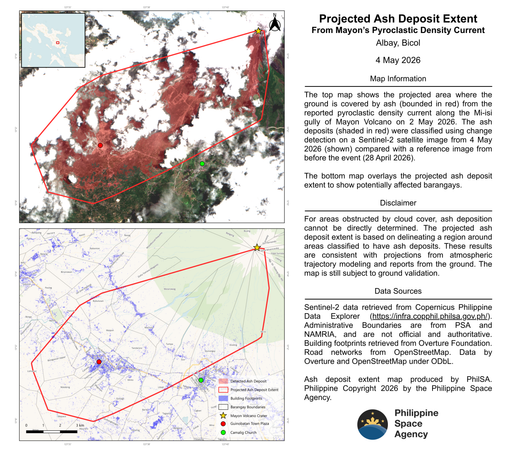
The Philippine Space Agency (PhilSA) produced a map showing areas covered by ash deposits (bounded in red) from the reported pyroclastic density current along the Mi-isi gully of Mayon Volcano on 02 May 2026. The ash deposits (shaded in red) were classified using change detection on a Sentinel-2 satellite image from 04 May 2026 (shown top) compared with a reference image from before the event (28 April 2026). The bottom map overlays the projected ash deposit extent to show potentially affected barangays. Based on the analysis, at least 8,544 hectares ( ~85,440 sqkm) were covered by ashfall. For comparison, this area is around half the size of Quezon City.