#MariaFire #LosAngelesCounty #FireStatus #CAwx

Cole Euken, Staff Reporter
Jul 5 at 6:58 PM EDT
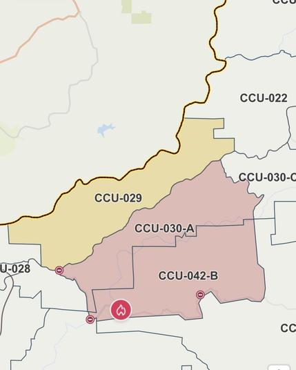
The fire has been mapped at 202.2 acres by FIRIS Intel 24. Their perimeter is visible on the Watch Duty map under the Active Fire Perimeters map layer.

Note: Fire perimeters are preliminary and indicate general burn area but do not reflect structure protection efforts by firefighters. A structure within a fire perimeter may not be damaged or destroyed.

Jul 5 at 6:14 PM EDT
The fire is now 100 acres - per Incident Command

Jul 5 at 6:02 PM EDT
The fire is now 50 acres in light fuels with a moderate rate of spread and a potential for 200 acres within 1 hour, No structures threatened - per Incident Command

Jul 5 at 5:46 PM EDT
Incident Command has requested Hwy 138 be closed from 170th to 110th.

Additional resources have been requested, including 1 additional helicopter.

https://share.watchduty.org/i/54461?ts=1751753677000

Watch Duty - Wildfire Maps & Alerts

Real-time information about wildfire and firefighting efforts nearby

Watch Duty
#NIFC #wildfires #firewx
NIFC New Or Updated Wildfire Perimeter
Incident Name: Maria
Acres: 50.0 acres
Updated: Jun 17, 2025 05:42 UTC
Source: IRWIN
#MariaFire #CAwx
Maria Fire @ #SantaMaria River near US-101, north of Santa Maria - #MariaFire https://share.watchduty.org/i/36501
Watch Duty - Wildfire Maps & Alerts

Real-time information about wildfire and firefighting efforts nearby

Watch Duty

#MariaFire #CAwx

Patricia Jacobs, Reporter
Jul 25, 11:13 AM EDT

All evacuations have been lifted per CALFIRE Tuolumne Calaveras Unit Facebook page.

https://share.watchduty.org/i/27428

Watch Duty - Wildfire Maps & Alerts

Real-time information about wildfire and firefighting efforts nearby

Watch Duty

#CAwx

Morning fire stats. NOTE: info is several hours old.

#ShellyFire ACRES: 15,477 CONTAINMENT: 55%
#HillFire ACRES: 6,425 CONTAINMENT: 10%
#PencilFire ACRES: 500 CONTAINMENT: 15%
#RidgeFire ACRES: 2,755 CONTAINMENT: 35%
#MillFire ACRES: 2,300 CONTAINMENT: 0%
#SmithFire ACRES: 48 CONTAINMENT: 0%
#MariaFire ACRES: 65.4 CONTAINMENT: 15%
#ApacheFire ACRES: 250 CONTAINMENT: 0%
#TroutFire ACRES: 21,774 CONTAINMENT: 7%
#LongFire ACRES: 9,204 CONTAINMENT: 20%

#MariaFire #CAwx

Patricia Jacobs, Reporter
Jul 23, 6:12 PM EDT

The fire has been mapped at 65.4 acres per FIRIS Intel 12. The perimeter can be viewed in the Watch Duty map.

Please note that fire maps indicate the general burn area but do not detail the measures being taken to protect buildings and homes. Even if a building or home is within the marked fire perimeter, it doesn't necessarily mean it has been damaged or destroyed. These maps are preliminary and may be updated.

https://share.watchduty.org/i/27428

Watch Duty - Wildfire Maps & Alerts

Real-time information about wildfire and firefighting efforts nearby

Watch Duty

#MariaFire #CAwx

Patricia Jacobs, Reporter
Jul 23, 11:32 AM EDT

Air resources have arrived at the fire including air attack and one air tanker making retardant drops per radio traffic and radar.

https://share.watchduty.org/i/27428

Watch Duty - Wildfire Maps & Alerts

Real-time information about wildfire and firefighting efforts nearby

Watch Duty

#MariaFire - Jesus Maria, Calaveras County, CA

Evacuation ORDER
CCU-030-A
CCU-042-B

Evacuation WARNING
CCU-029

Evacuation shelter:

Red Cross shelter
Jenny Lind Memorial Building,
300 W. Daphne St, Valley Springs, CA 95252

Mark Twain Elementary School, 646 Stanislaus Ave, Angels Camp, CA, 95222 (+ small animals)

Valley Springs Veterans Hall 189 Pine St, Valley Springs, CA, 95252 (+small animals)

Large animals > Angels Camp Fairgrounds
Calaveras County Fair & Jumping Frog Jubilee, 101 Frogtown Rd, CA 95222

Evacuation map > https://protect.genasys.com/fullscreenMap?z=10.948332865554978&latlon=38.23396918350258%2C-120.65736354975098&fbclid=IwZXh0bgNhZW0CMTEAAR15f8-KIftJKOzQnq4NXO0ROtXgVcvZM8ZQbAeMXd4LdxJoWqzvz02faD8_aem_vfUVEi_4Pl0782-pJ9VcyA

genasys Protect

Genasys Protect helps you stay safe in an emergency and keeps you safe wherever you go. The data in Genasys Protect comes straight from your local officials, and can tell you about danger nearby and how to stay safe.

#MariaFire #CAwx

Nick Russell, Reporter
Jul 23, 9:51 AM EDT

The fire is now 45 acres and 5% contained per CALFIRE.

Per the https://www.fire.ca.gov/incidents/2024/7/23/maria-fire/, this is not a CALFIRE incident.

Sekhar Padmanabhan, Staff Reporter
Jul 23, 9:04 AM EDT

Evacuation warning issued for zone CCU-029.

https://share.watchduty.org/i/27428

Maria Fire | CAL FIRE