Newbie on Mastodon, immigrant to the fediverse, passionate game developer, living in the lovely Peak District.
Occasionally articulate, fairly low impulse control, witty mofo.
Newbie on Mastodon, immigrant to the fediverse, passionate game developer, living in the lovely Peak District.
Occasionally articulate, fairly low impulse control, witty mofo.
📍: Bridge 37, Tescos Br
ℹ️: road bridge
🗺: https://www.openstreetmap.org/?mlat=53.3353632419831&mlon=-1.98284030855546#map=17/53.3353632419831/-1.98284030855546
📸: Photo by Bods on Flickr https://www.flickr.com/photos/54741099@N00/32734487654
#canal #narrowboat #england #uk #flickr #walk #peakforestcanal #highpeak #derbyshire #goytway #whaleybridge

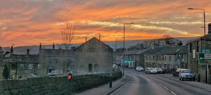
Photos from driving practice trip
#tintwhistle #HighPeak #derbyshire #england #britain #europe #sunset #sunsetphotography #rural
Photos from driving practice trip
#tintwhistle #HighPeak #derbyshire #england #britain #europe #sunset #sunsetphotography #rural
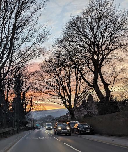
Photos from driving practice trip
#tintwhistle #HighPeak #derbyshire #england #britain #europe #sunset #sunsetphotography #rural
Photos from driving practice trip
#tintwhistle #HighPeak #derbyshire #england #britain #europe #sunset #sunsetphotography #rural

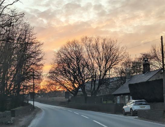
Photos from driving practice trip
View at the end of Woodhead Road (from Holme) where it joins Woodhead Road (to Tintwhistle)
https://www.openstreetmap.org/#map=14/53.49448/-1.87800
#woodhead #tintwhistle #HighPeak #derbyshire #england #britain #europe #sunset #sunsetphotography #rural

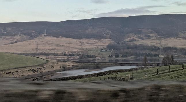
Photos from driving practice trip
Woodhead Reservoir's Woodhead Bridge, from Woodhead Road (the one from Holme), where it joins the Woodhead Road (the one to Tintwhistle), but before the Woodhead Road (the one to Glossop) splits off from the Woodhead Road (the one to Tintwhistle). Clear? Good :)
https://www.openstreetmap.org/#map=14/53.49448/-1.87800
#woodhead #tintwhistle #HighPeak #derbyshire #england #britain #europe #sunset #sunsetphotography #rural
Photos from driving practice trip
#HighPeak #derbyshire #england #britain #europe #sunset #sunsetphotography #rural