US Geospatial Intelligence Community Targets Innovation to Bolster Strategic Advantage
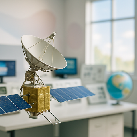
The US Geospatial Intelligence Community is harnessing innovation to gain a strategic edge, with AI now a vital part of everyday operations, driving innovation, agility, and impact. At GEOINT 2026, experts highlighted AI's transition from experimental tech to a key tool in daily geospatial…
#GeospatialIntelligence #ArtificialIntelligence #Geoint2026 #Innovation #StrategicAdvantage