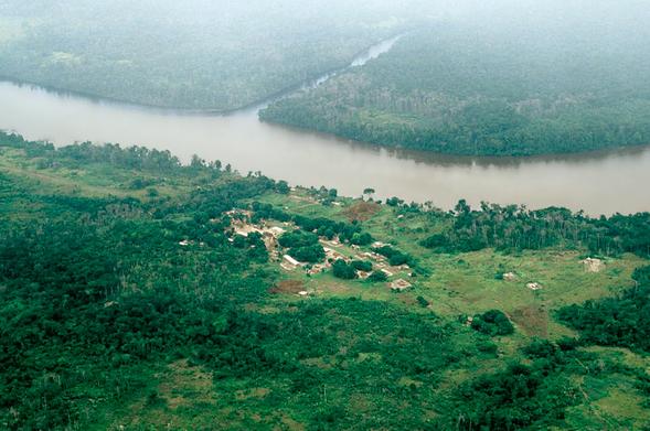
Aerial photo of a small village in the Canaina region, Venezuela
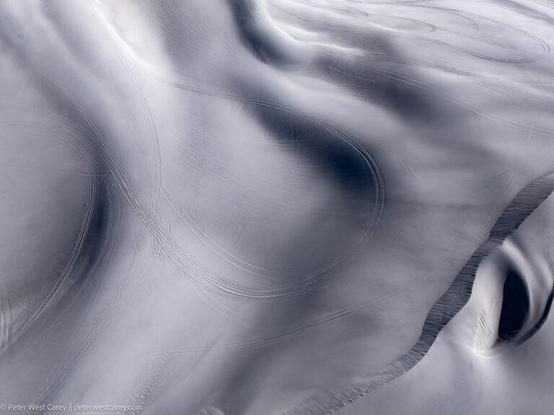
Tracking Through The Sands
Around the US West there are seemingly random pockets of sand dunes. This set is close to the Nevada/California border and are a favorite for the ATV crowd. Calle the Big Dunes, they are maybe 300' all and on BLM land.
default
https://thecareyadventures.com/blog/tracking-through-the-sands/
#AerialPhoto #Nevada #NorthAmerica #OddInterestingAwesome #PhotoOfTheDay #USA #BigDunes #nevada #offhighway #PhotoOfTheDay #recreation #SandDunes #travel #USA
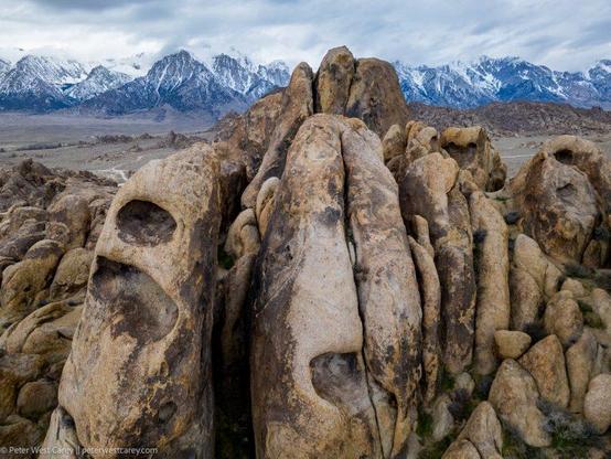
Weird Shapes In The Alabama Hills
A quick note that if you decide to fly a drone in the Alabama Hills, you need to get a permit from the Bureau of Land Management in Bishop. The good news is they are nice people.
And it's the only way you
https://thecareyadventures.com/blog/weird-shapes-in-the-alabama-hills/
#AerialPhoto #California #NorthAmerica #OddInterestingAwesome #PhotoOfTheDay #USA #AerialPhoto #AlabamaHills #California #drone #mountains #PhotoOfTheDay #travel #WeirdRocks