PGDay Lowlands is back! We can't wait to see you all at the "second best PostgreSQL conference in Europe", September 10, at TivoliVredenburg in Utrecht: https://2026.pgday.nl/


| website | https://justobjects.nl |
| GitHub | https://github.com/justb4 |
| map5topo | https://map5topo.nl |
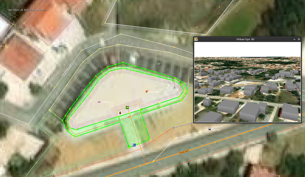
Do you know that there's a new(ish) plugin for the JOSM edtior that let's users view #OpenStreetMap buildings in 3D, rendered locally?
It allows users to preview their edits, before uploading their changes to @openstreetmap .
Check it out: https://github.com/Zkir/UrbanEye3D
Yo lo paso porque total ya que di la chapa pues igual a alguien le interesa, pero ni de coña lo voy a ver yo que me da mucha vergonya.
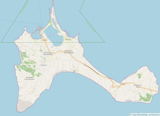
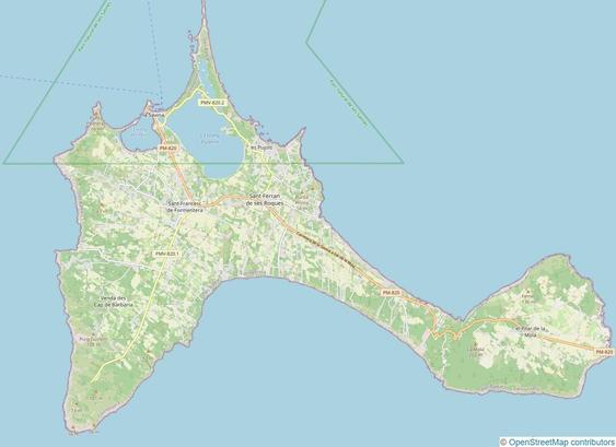
I've mapped the beautiful Spanish island of #Formentera on #OpenStreetMap. It was an exciting challenge to record street names, addresses, rural addresses, POIs, landcover and more. Formentera covers an area of approximately 83 km² (32 mi²).
Here's a #BeforeAndAfter impression:
✨ MapFish Print 4.0 is out.
🖨️ A key and widely used tool for high performance cartographic report generation, MapFish Print reaches a major new technological milestone.
👏 Congratulations to the Camptocamp teams and many thanks to the external contributors!
➡️ MapFish Print v4 https://github.com/mapfish/mapfish-print/releases/tag/4.0.0
➡️ About Camptocamp: https://www.camptocamp.com
@doublebyte @tomchadwin @defuneste
*clicks send*
https://github.com/opengeospatial/requests/issues/3#issuecomment-3993774154
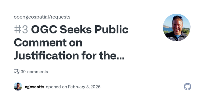
The Open Geospatial Consortium (OGC) is requesting public comment on the Justification for the Global Entity Reference System (GERS) Framework and Model as an OGC Community Standard. The justificat...