It begins
AWC met ✈️. I tell planes where they shouldn't fly and then they do anyway. Previously NWS MQT (2018-22), M.S. Stony Brook (2018), B.S. Valparaiso (2015). All thoughts/opinions mine only. He/him.
Go Birds.
"Reported by A350, B777, A321"
at 2 am LT, no less
ROUGH morning for turb out west
#aviation #aviationwx #flysafe #wxtwitter #wxmastodon #cawx #orwx #sanfrancisco
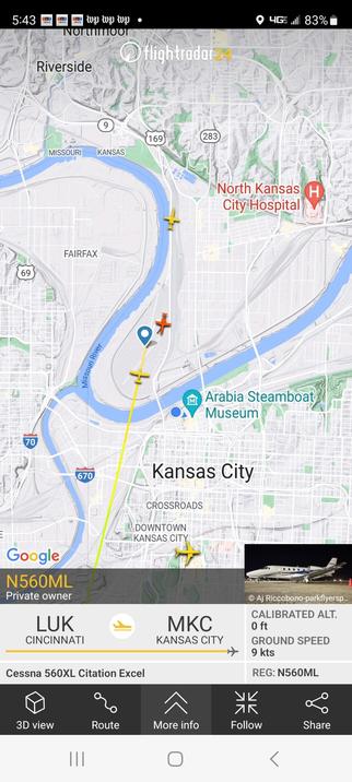
"What's the visibility at Buffalo International?"
"Which half?"
#nywx #snow #lakeeffect #Buffalo #wxtwitter #wxmastodon #Elliott
Holy smokes! A peak gust of 79 mph (35.5 m/s) at Stannard Rock Lighthouse on Lake Superior back at 1611z!
Granite Island, farther south closer to the shoreline, peaked at 75 mph (65.1 kts) earlier this morning as well.
As far as I know, there's never been a Hurricane Force Wind Warning issued on the Great Lakes...
#miwx #greatlakes #lakesuperior #906wx #wxtwitter #wxmastodon #bombcyclone #Elliott
Just awful morning for #turbulence in the Carolinas. Turb PIREPs from the last 4 hours include SEV or MOD-SEV in:
CRJ-900 (2)
A320 (2)
A321
B737 (4)
https://beta.aviationweather.gov/gfa/#obs
#aviation #aviationwx #wxtwitter #wxmastodon #ncwx #scwx #keepthoseseatabeltson
Trying to add up snowfall with a very strong & very fast moving front is going to be a challenge for any algorithm, which is why you end up with artifacts like this:
Is Morgantown going to get ~7" while Allentown gets 0.0"? Both are unlikely.
Taking a step back, when is the last time there was significant post-frontal snow in the Northeast?
For good anafront precip, you need the left exit region of the jet to remain behind the front, which is not the case here.