Here’s a little something I put together this week: Pinhead Map Icons. I was tired of digging through a bunch of different sources to find good cartographic icons, so I compiled all the public domain sources I could find into one unified set. You’ll see familiar faces from the likes of iD, OSM Carto, and National Park Service maps, plus some newcomers. Let me know what you think!

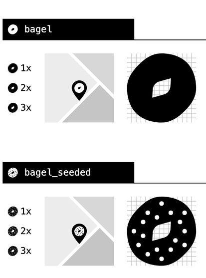
Here are some of the more interesting icons I drew that are "exclusive" to Pinhead, including reimagined icons for OSM curb types


@waysidemapping I was looking for the turtle! Thank you ⚘️
@raquel_ivides_org I just drew that today! Glad it’s already useful :)
@waysidemapping https://pictogrammers.com/library/mdi/ could be a good source as well (though it may not be strictly cartography-oriented).

@arthurwelle looks cool but appears to be copyright 🤔
@waysidemapping This is what they claim: "This package is released as free, open-source, and GPL friendly by the Pictogrammers. You may use it for commercial projects, open-source projects, or anything really."
@arthurwelle Okay I found the license. The icons are Apache 2.0 which has a few strings in the redistribution clause which seem to prevent inclusion in a CC0 library: https://www.apache.org/licenses/LICENSE-2.0
@waysidemapping very nice, thanks! There's so many in the combined set, seems very useful.
@ctoney That's the goal! Hopefully just a start
@waysidemapping Excellent URL, too!
@jspath55 Thanks! I thought it was cute
@waysidemapping mmm, attractive tiny glyphs
@waysidemapping This is very cool!
Now I'm thinking about project ideas where I can use these!
@stefan Thanks! Time to make a map haha
@waysidemapping If I can't come up with anything, there's always the next https://30daymapchallenge.com!
@waysidemapping @VersaTiles ist das für euch interessant
@waysidemapping Thank you! Maybe we will find there some useful icons for our outdoor map at https://www.freemap.sk/#layers=X

Freemap Slovakia, digital map
Detailed cycling, hiking, cross-country skiing and equestrian map of Central Europe (Slovakia, the Czech Republic, Hungary, Croatia, Slovenia, Romania, Bulgaria, Bosnia and Herzegovina, Austria, Switzerland in northern Italy and Carpathian Ruthenia). The map contains marked hiking, biking, cross-country and riding trails. It is based on the OpenStreetMap database and is therefore constantly updated. Various backgrounds such as Strava heatmap, NLC forest roads, aerial imagery, public transportation, wikipedia, photos. Functions such as search (by name or POI by category), route planning (walking, cycling, pram, trolley, ...), map annotation (drawing, points / markers on the map), measurement (distance, height, area, position), GPX records viewer, own maps, live tracking, export to or GeoJSON, PDF map export for printing. Insert a map into your own page. An alternative to maps such as hiking.sk, mapy.com or maps.google.com.
RE: https://mastodon.social/@waysidemapping/116105351872741666
This is so useful. I end up using icons like this in briefing slides a lot, too. Thanks for creating and sharing this, @waysidemapping 👏
@coreysnipes Great to hear!!
@waysidemapping That's so cool! Thank you!
I made a request to uMap to add them: https://github.com/umap-project/umap/issues/3214
@forteller Happy to help! Thanks for opening that ticket :)