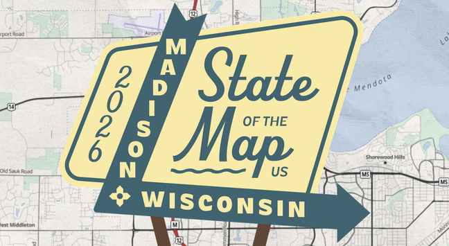
Come join the open community this June in Madison! Just two days left to lock in the best price for State of the Map US 2026: https://openstreetmap.us/events/state-of-the-map-us/2026/


| Pronouns | he/him |
| Website | https://waysidemapping.org |
| OpenStreetMap | https://www.openstreetmap.org/user/quincylvania |
| GitHub | https://github.com/waysidemapping |
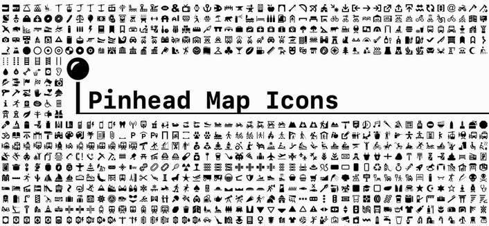
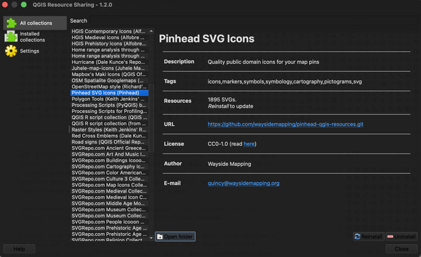
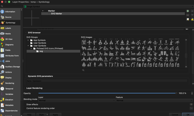
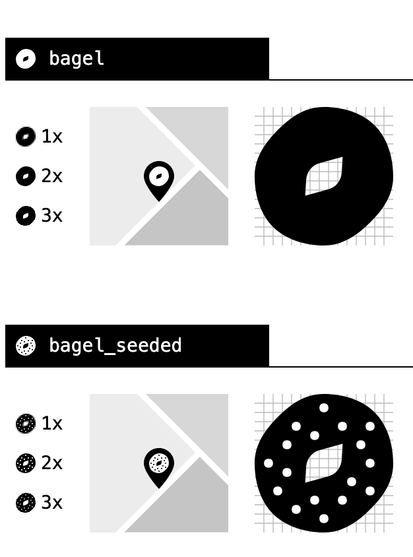
New with Pinhead: icons are now available through the QGIS Resource Sharing plugin, making it dead simple to use the icons in QGIS projects
RE: https://fosstodon.org/@Wijfi/116256600541347937
Very cool design! We need more HyperCard-ready map styles 💾
RE: https://en.osm.town/@OpenStreetMapUS/116216798532603901
Great logo! I've drawn a couple of the past logos and it's a tough process. Hats off to the artist. Excited to see all the branding this June in Madison
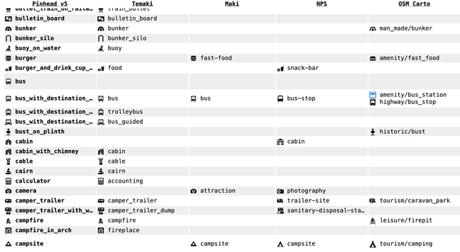
Pinhead v5 is now released with 38 icons added since v3, including icons from the OSM Americana map style. I also added a page where you can compare Pinhead to the likes of Maki, NPS, and OSM Carto
https://github.com/waysidemapping/pinhead/releases/tag/v5.0.0


RE: https://en.osm.town/@kevin/116117525373189133
First known instance of Pinhead in use by the community 😊
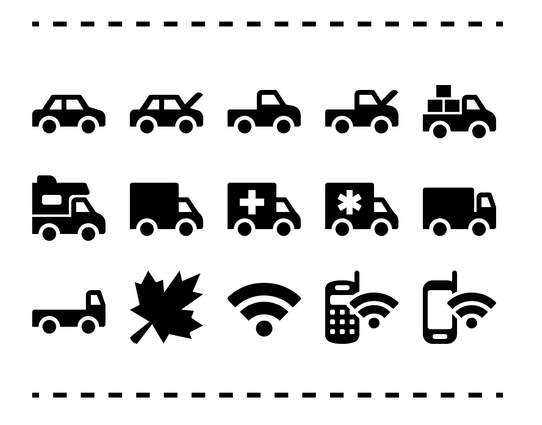
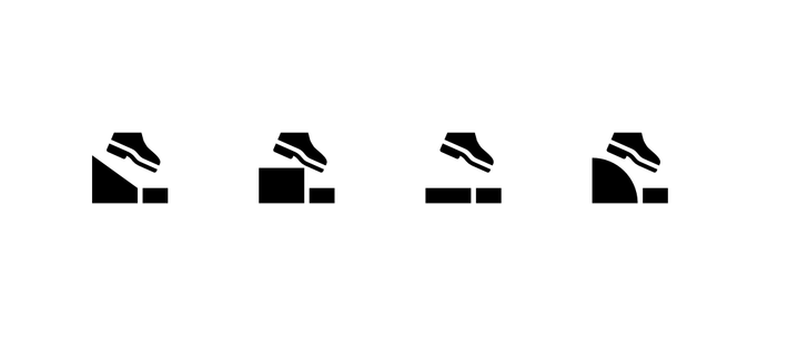
Released today in Pinhead v3: fifteen new public domain map icons including trucks, wifi devices, and a maple leaf
https://github.com/waysidemapping/pinhead/releases/tag/v3.0.0


Here’s a little something I put together this week: Pinhead Map Icons. I was tired of digging through a bunch of different sources to find good cartographic icons, so I compiled all the public domain sources I could find into one unified set. You’ll see familiar faces from the likes of iD, OSM Carto, and National Park Service maps, plus some newcomers. Let me know what you think!
RE: https://en.osm.town/@kevin/116104860634207015
Looking forward to it!