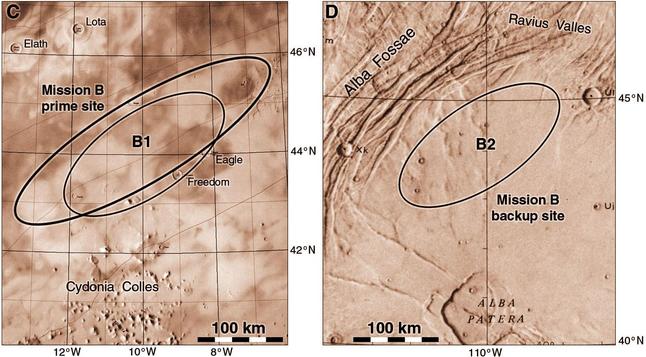
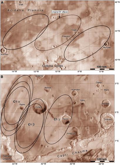
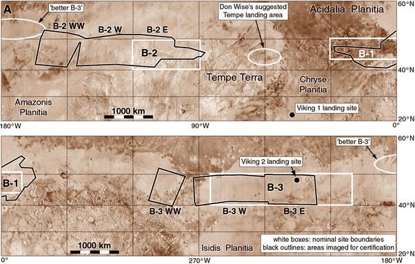
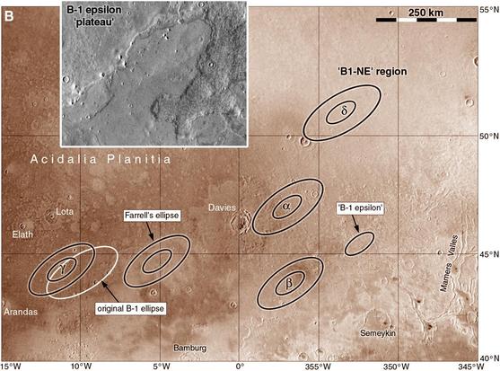
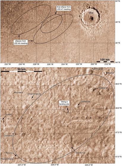
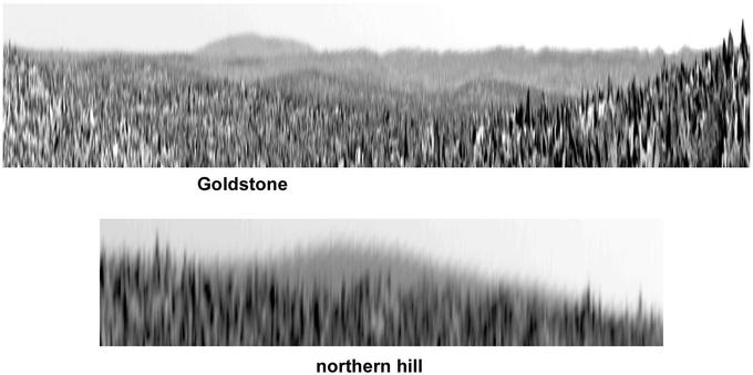
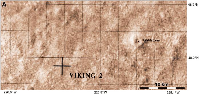
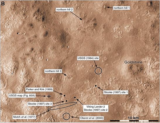
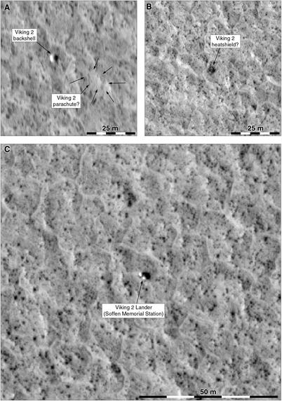
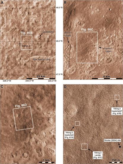
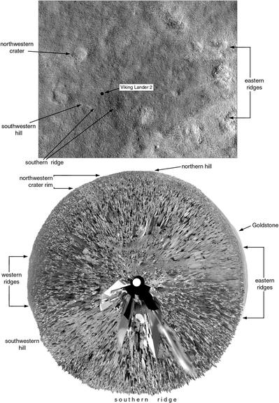
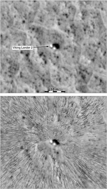
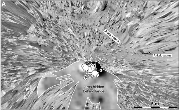
Last September I started a thread on Viking 1 which began with the Viking site selection process. Here we will pick up the story for Viking 2. Viking sites were chosen initially using Mariner 9 images and elevation data, and the final stage of that process produced these two sites for Viking 2, a prime site (B1) and a backup (B2). B1 is Cydonia and its most famous inhabitant lives in those hills (Cydonia Colles). B2 is a low volcanic rise now called Alba Mons.
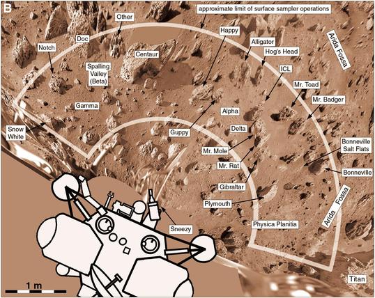
#mars #maps #viking2
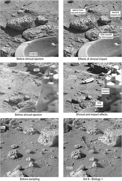
#mars #maps #viking2