If you find OpenStreetMap a bit difficult to plan off-road routes, try OpenRouteService
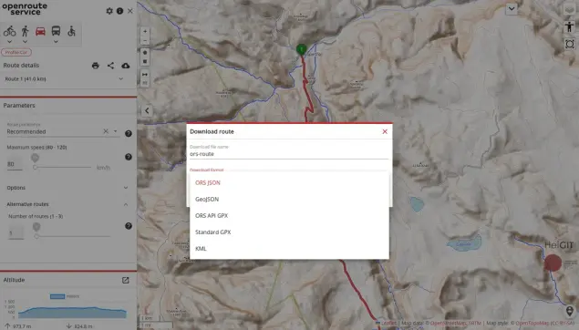
OpenRouteService (ORS) is an open source route planner service that leverages OpenStreetMap data to provide a variety of routing and spatial analysis services. It actually uses a forked and modified version of the GraphHopper routing engine (another ...continues