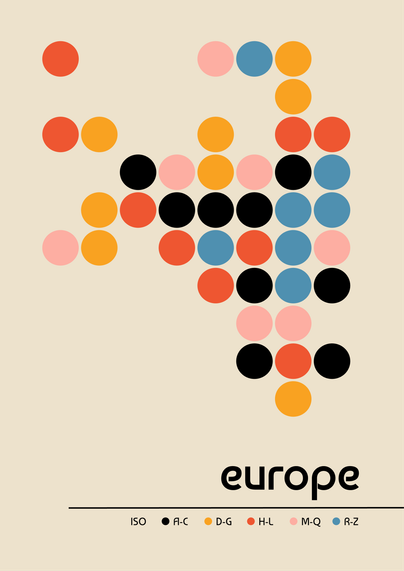
On a mapping run - Bauhaus inspired grid map of europe. Each country is coloured by the first letter of their ISO name. 🟠 🔵 🟡
Maybe a little puzzle to figure out the grid I used 😅
Initial map made in #python using #matplotlib then refined in Figma. Code: https://github.com/Lisa-Ho/small-data-projects/tree/main?tab=readme-ov-file#012025-grid-map-of-europe

GitHub - Lisa-Ho/small-data-projects: Repository of small data analysis and visualisation projects to try out libraries and create new types of visualisations. Mostly using Python.
Repository of small data analysis and visualisation projects to try out libraries and create new types of visualisations. Mostly using Python. - Lisa-Ho/small-data-projects