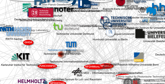
542 institutions + 26 consortia + one basic service initiative = #oneNFDI ! Watch the full #NFDI network here: https://w.wiki/CMnk (created with #Wikidata)
#NFDIrocks #RDM #Base4NFDI #BERD #DAPHNE4NFDI #FAIRagro #FAIRmat #GHGA #KonsortSWD #MaRDI #NFDI4Biodiversity #NFDI4BIOIMAGE #NFDI4Cat #NFDI4Chem #NFDI4Culture #NFDI4DataScience #NFDI4Earth #NFDI4Energy #NFDI4Health #NFDI4Immuno #NFDI4Ing #NFDI4Memory #NFDI4Microbiota #NFDI4Objects #nfdi4plants #NFDIMatWerk #NFDIxCS #PUNCH4NFDI #Textplus