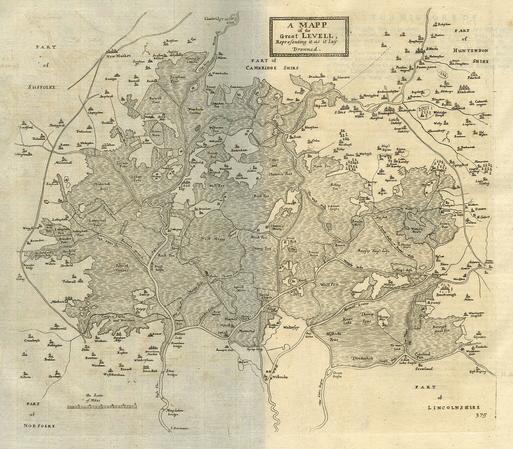
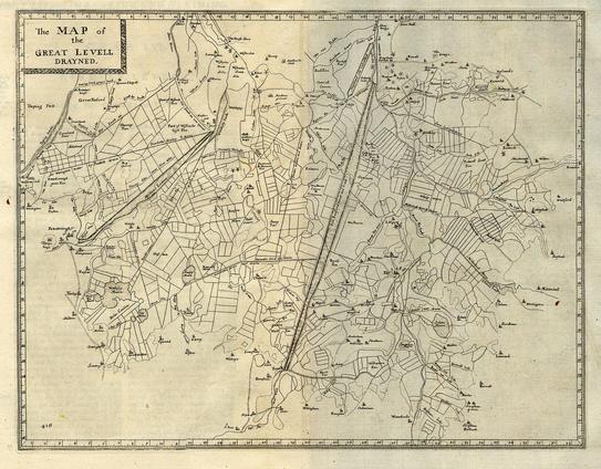
I am in the process of uploading 11 high-quality scans of the maps to #Wikipedia from: Dugdale, William. The History of Imbanking and Drayning of Divers Fenns and Marshes: Both in Forein Parts, and in this Kingdom, and of the Improvement Thereby, Extracted from Records, Manuscripts, and Other Authentick Testimonies. United Kingdom, Warren, 1772. Second Edition.

Originally published in 1662, this work outlines some of the first extensive drainages of #wetlands in the #unitedkingdom. /1

These two are probably the coolest of the bunch, and go together. These depict the before and after #drainage of the #Fens or #Fenlands in #Lincolnshire, #Cambridgeshire, #Suffolk, and #Norfolk. These #maps show how extensive these works were. One can imagine the ecological consequences that are still impacting us today. /12

@histodons #HistoricMaps #histodons #Geography #wetlands

@NikaShilobod @histodons that's really interesting, particularly as our small fen village (on modest rise) is visible. Thank you for posting. It confused the jiggins out of me at first though, as it's oriented South up. Making everything "feel" the wrong way round to me. Was this common with older maps?
@[email protected]

There wasn't a whole lot of standardising in maps at the beginning of the industrial revolution. That's something that developed with need over time, but you can see the beginnings of it with maps from the period. :)