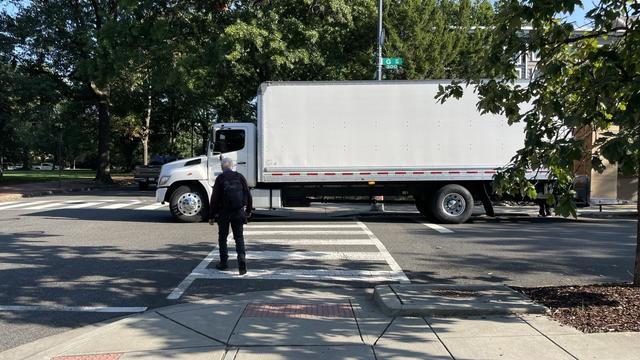
Good luck getting across the street, old man. The young strapping people delivering stuff need the space. #walkDC


“Thank you to @ddotdc Director Lott, Ward 5 Liason Dalando Baker, and Traffic Safety Engineer Sahar Nabaee for joining us & listening to residents’ concerns. And thank you to the many ANCs and @fosdaneDC for serving our communities by centering the voices of those most impacted.”

2022 transit stats in review:
Walking accounted for about 40% of the time going from A to B but only about 6% of the distance from A to B.
Cycling accounted for 27% of the distance traveled, and 45% of the time.
The one plane trip to California and one train trip to Connecticut account for almost half of all miles traveled. If I exclude those two trips, cycling + walking is 2/3rds of miles traveled and 85% of travel time.
(10 miles I'll be taking metro tonight are excluded 🙂)

Overview The District Department of Transportation (DDOT) is conducting a multimodal (e.g. vehicle bus bicycle and pedestrian) transportation study of Bladensburg Road NE between Benning Road and Eastern Avenue. The study will identify traffic safety and access issues and develop solutions to improve safety and access for all users especially pedestrians and bicyclists. The project will develop two corridor alternatives and evaluation metrics to help the community and DDOT weigh the tradeoffs and select a preferred alternative to take to 30% design. Study Area The study area is approximately 2.5 miles in length and includes all of Bladensburg Road between Benning Road NE and Eastern Avenue NE (the District-Maryland line). Bladensburg Road NE is a six-lane roadway divided by a concrete median and is classified as a minor arterial. Several major streets bisect this corridor creating large complicated intersections including Benning Road 17th Street/Mt. Olivet Road New York Avenue South Dakota Avenue Queens Chapel Road and Eastern Avenue. The study area is located within Ward 5 and includes the Trinidad Carver/Langston Gateway and Fort Lincoln neighborhoods. Bladensburg Road provides access to neighborhood businesses commercial distribution centers industrial uses low and medium density residential the Mount Olivet cemetery and the National Arboretum.


