The Pedestrian Working Group is back by popular demand to host the last OSM US Mappy Hour of 2025! Be sure to join us on November 19th at 8:00pm ET for even more sidewalk mapping.
Register free here: https://openstreetmap.app.neoncrm.com/np/clients/openstreetmap/event.jsp?event=189&
#OpenStreetMap #MappyHour #pedestrianmapping
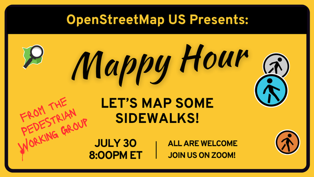
The #PedestrianWorkingGroup hosted a #MappyHour on July 30th! We led over 50 participants in mapping sidewalks across Richmond, Virginia. In case you missed it, you can watch the first half of the Mappy Hour on YouTube.
🔗 https://youtu.be/OTFfAtnIEIU?si=fsW4N4YjjqAde-Hv
#openstreetmap #pedestrianmapping
There is still time to register for Wednesday's Mappy Hour! Join the OSM US Pedestrian Working Group on July 30th at 8:00pm ET to learn all about mapping sidewalks! Mappers of all skill levels are welcome.
Register for free: https://bit.ly/Mappy-Hour-sidewalk-mapping
#openstreetmap #pedestriansafety #pedestrianmapping #mapping #sidewalks
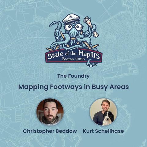
Map sidewalks and footways with Christopher Beddow & Kurt Schellhase during this Thursday afternoon workshop at #SOTMUS2025!
We have an entire afternoon of workshops and deep dives as we kick off the conference on June 19th. Snag your tickets and join us: https://bit.ly/sotmus2025tix
#MappyMonday #OpenStreetMap #pedestrianmapping #pedestriandata #opendata
State of the Map US 2025
The 13th State of the Map US will be held in-person at Boston University in Boston, Massachusetts June 19-21, 2025.
***TICKET TIERS ARE AS FOLLOWS***
Academic & Nonprofit Admission: Strictly for full time students, educators and nonprofit staff.
Professional: Representing an agency or company? Please purchase at this tier if you can. It helps OSM US offer lower cost tiers for those who need them.
General Admission: Everyone else!
**If you are an OSM US member, log into the member portal to activate your discount on the general admission ticket.
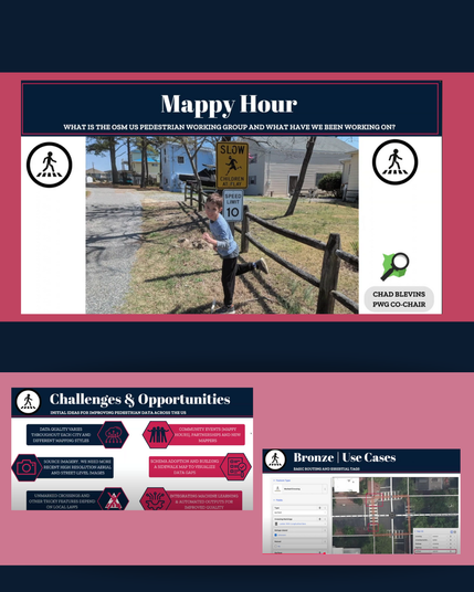
Learn about pedestrian data trends in American cities in this blog post by guest writer Chad Blevins 🔗 https://buff.ly/gLege2T
#opendata #openstreetmap #pedestrianmapping #pedestriansafety

Walking the Path to Progress: Pedestrian Data Trends in American Cities
In 2024, OpenStreetMap experienced its largest recorded increase in pedestrian mapping, including footways and crossings. Across the top 10 U.S. cities, contributors added 9,896 km of footways and 62,153 ind...