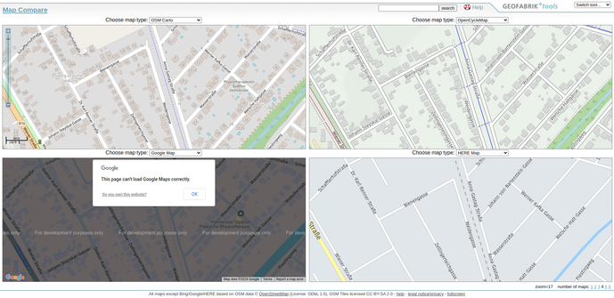
Another good example of why I love #OpenStreetMap so much.
In my town, a railroad line has been converted into a footpath and cycle path and will later become a park.
With the tool #mapCompare from Geofabrik you can see very well, my editing on OpenStreetMap shows the cycle path with crossings. here maps still shows the old railroad line and on google maps there is a warning because of the license issue.