HomeExplore
narrowbotrApr 13, 2025

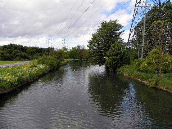
📍: Lock 11, Waltham Town Lock
ℹ️: lock
🗺: https://www.openstreetmap.org/?mlat=51.6874317169242&mlon=-0.012548267559434#map=17/51.6874317169242/-0.012548267559434
📸: Photo by Peter O'Connor aka anemoneprojectors on Flickr https://www.flickr.com/photos/58414938@N00/17774359069

#canal #narrowboat #england #uk #flickr #2014 #essex #gayoutdoorclub #goc #goccheshuntleevalley #gochertfordshire #hertfordshiregoc #horsemillstream #leevalleypark #leevalleyregionalpark #outdoor #river

OpenStreetMap

OpenStreetMap is a map of the world, created by people like you and free to use under an open license.

OpenStreetMap
narrowbotrAug 5, 2023

📍: Bridge 43, Lock Crossover Bridge
ℹ️: towpath bridge
🗺: https://www.openstreetmap.org/?mlat=51.6873239572449&mlon=-0.012400037595581#map=17/51.6873239572449/-0.012400037595581
📸: Photo by Peter O'Connor aka anemoneprojectors on Flickr https://www.flickr.com/photos/58414938@N00/17774359069

#canal #river #narrowboat #barge #gongoozler #england #uk #flickr #2014 #essex #gayoutdoorclub #goc #goccheshuntleevalley #gochertfordshire #hertfordshiregoc #horsemillstream #leevalleypark #leevalleyregionalpark #outdoor #riverleecountrypark #riverleefloodreliefchannel #stream #walthamabbey #water #z981 #kodakeasysharez981 #kodak

OpenStreetMap

OpenStreetMap is a map of the world, created by people like you and free to use under an open license.

OpenStreetMap

Trends:

  • Caturday667
  • KidMadeUpHolidays263
  • qatsui96
  • ScreenshotSaturday67
  • mythos528
  • sabafoto38
  • ミリオン14th265
  • anthropic236
  • Fable547
  • FensterFreitag7