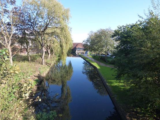
📍: Wednesfield Junction Turnover Bridge
ℹ️: towpath bridge
🗺: https://www.openstreetmap.org/?mlat=52.596971614435&mlon=-2.0924571076398#map=17/52.596971614435/-2.0924571076398
📸: Photo by ell brown on Flickr https://www.flickr.com/photos/39415781@N06/53259455964
#canal #narrowboat #england #uk #flickr #wyrleyandessingtoncanal #birminghamcanalnavigations #wednesfield #wolverhampton #blackcountry #westmidlands #unitedkingdom #greatbritain #tree #trees #heathtown #newcrossbridge