#GoogleEarth Alternatives — #Satellite & #GISMapping
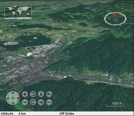
1. #NASA #WorldWind – An open-source 3D virtual globe with satellite imagery and #geographic data.
2. #Cesium – A WebGL-based 3D globe used for high-end geographic visualization.
3. #MarbleKDE (Marble by KDE) – A lightweight, #OpenSource alternative with offline #maps.
[see more options in reply]

Shout-out to #nasa #Worldwind .

https://github.com/NASAWorldWind/WorldWindJava

I always come back to it when I want to checkout how easy or how fun #cycling will be in a new place.

#nasaworldwind #terrain #elevation #3d

GitHub - NASAWorldWind/WorldWindJava: The NASA WorldWind Java SDK (WWJ) is for building cross-platform 3D geospatial desktop applications in Java.

The NASA WorldWind Java SDK (WWJ) is for building cross-platform 3D geospatial desktop applications in Java. - GitHub - NASAWorldWind/WorldWindJava: The NASA WorldWind Java SDK (WWJ) is for buildin...

GitHub
Prynt Stealer Malware stiehlt Hackern ihre Beute

Keine Ehre unter Dieben: Entwickler des Prynt Stealers baut Hintertür in Malware ein, um selbst eine Kopie der erbeuteten Daten zu erhalten.

Tarnkappe.info

@dunkelstern
It wraps 3D sceneries (elevation, buildings, cityfurnitures, ...) and adds semantics (e.g. this are roof faces).

There is a existing ecosystem e.g. NASA #worldwind viewer, DB schemas, tile servers etc. but there is no way to translate OSM data to this 3D GIS world -.- Would be great benefit and fill a gap.