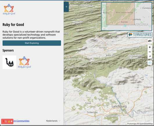
Quick #Terrastories update: in addition to the Explore interface, the main application now also uses @protomaps as a default basemap for online, and PMTiles for offline.

You can still use a Mapbox map if you want to, and offline we will ship Tileserver-GL for backwards compatibility with MBTiles for some time.

With #Terrastories we are switching to @maplibre + @protomaps as our default map for both online and offline deployments (as well as the new public #ExploreTerrastories interface), meaning our software stack will be entirely FOSS again.

After @foss4g, wrapping up an interesting week here at Conservation Metrics and
#Terrastories, implementing @protomaps PMTiles for two projects.

@maplibre + PMTiles is a game changer for the space of building offline-first FOSS mapping tech for Indigenous communities 🧵

Terrastories was featured in a phenomenal video by Digital Democracy on the #EarthDefendersToolkit, with testimonies from Indigenous communities who are using #Terrastories among others, captured an earth defenders retreat in Ecuador. Check it out!

https://t.co/DjpmB89KBx

What is the Earth Defenders Toolkit?

YouTube