🏕️ New feature on Trail Hiking Australia

Planning a hike and need somewhere to stay?

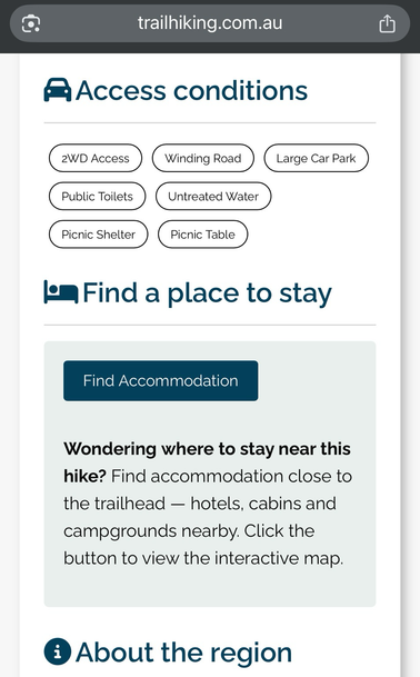
Every hike page (all 3,700+) now includes a “Find accommodation” button and text link so you can quickly search hotels, cabins, and campgrounds near the trailhead.

Check it out next time you’re planning an adventure ➡️ https://www.trailhiking.com.au/

#TrailHikingAustralia #HikingAustralia #HikePlanning #AccommodationNearTrails #ExploreAustralia #BushwalkingAustralia #OutdoorAdventure #PlanYourHike #NatureGetaway

to answer my own question (lol!), GraphHopper seems to offer a lot of what I want: https://graphhopper.com/maps/?profile=car&layer=Omniscale

I've also seen BRouter recommended: https://brouter.de/brouter-web/

You can create the trail you want to walk - despite having never been there before (in advance), then just download it as a .GPX file and open/use it on your mobile, completely offline in a suitable app e.g. OsmAnd

#OpenStreetMaps #Trails #HikePlanning

GraphHopper Maps | Route Planner

Plan routes and get driving directions from GraphHopper Maps using open source and open data