#Uranium company’s finalized #NewMexico plan includes treating, dumping water into nearby river
#DinéActivist says #EnergyFuels doesn’t understand #MountTaylor’s sacredness
Thursday, May 28, 2026
By Patrick Lohmann,
"A #Colorado uranium company recently submitted a finalized operation plan to New Mexico officials, signaling that it — along with multiple other out-of-state companies — is increasingly serious about mining uranium in the state.
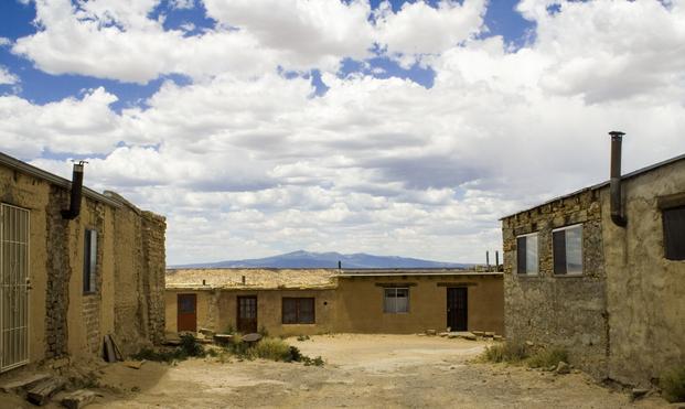
"Energy Fuels, Inc. submitted a 273-page operations and '#reclamation' plan earlier this month that details how it plans to extract uranium from more than 1,600 feet below the surface within the #CibolaNationalForest boundaries in McKinley County, then transport it to its mill in #BlandingUT.
"New Mexico Environmental Law Center Legal Director Eric Jantz told Source NM on Tuesday that the plan represents the company’s renewed intent to receive a permit following more than a decade on hiatus.
" 'We’re taking it seriously,' he said of the plan. 'And we’re going to be doing what we can to make sure that this #EnvironmentalReview is done properly, and that community interests are protected.'
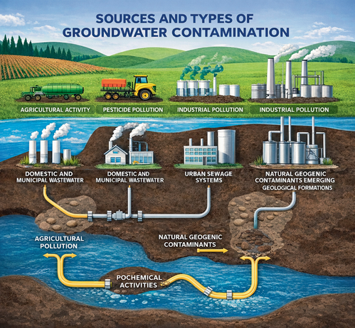
"The company’s plan describes how it would pump #groundwater from the mineshaft to access the #UraniumOre, then treat the water and release it into the nearby #RioSanJose. Jantz told Source NM that the 'dewatering”'of the mine is an immense technical undertaking and one that threatens to deplete the #groundwater supply during a period of prolonged #drought.
" 'It’s gonna deplete the water table in a significant radius around the proposed mine, and that water table won’t recover for decades, if ever,' he said.
"Energy Fuels officials did not respond to Source NM’s emailed request for comment Tuesday.
"In addition to the 'dewatering,' the proposed mine site lies within the boundaries of the Mount Taylor Traditional Cultural Property. Mount Taylor is sacred to several #Indigenous tribes and pueblos in New Mexico, including the #Navajo and #Laguna peoples.
"Energy Fuels’ operations plan notes that if its permit is approved, the company will take steps to preserve the 'viewshed' of Mount Taylor in recognition of the #SacredMountain and will, to the extent possible, 'protect scenic values' at the site.
"After reading that section of the plan, Diné anti-nuclear advocate #LeonaMorgan told Source NM that Energy Fuels officials clearly do not understand the value of Mount Taylor to the Navajo people.
" 'It’s not just a visual aspect. It’s not just to look at the mountain. It’s for the integrity of the mountain itself,' she said. 'When we’re talking about #SacredPlaces and #MotherEarth, these are our relatives. That’s how we consider them. They themselves have rights and definitely should not be basically raped and pillaged, which is what mining is.' "
#NoUraniumMining #IndigenousResistance #ProtectTheSacred #IndigenousNews #NativeAmericanNews