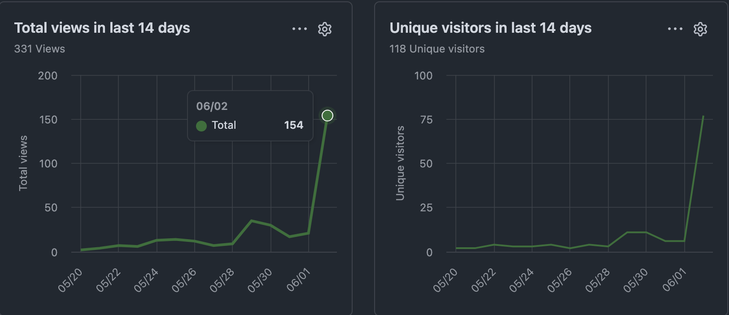
well, _that's_ neat
mostly the megamap but also the home page so it's like I guess they looked at both?
it seems less like AI because they didn't go drilling everywhere like the scrapers which ignore my robots.txt do so
¯\_(ツ)_/¯
well, _that's_ neat
mostly the megamap but also the home page so it's like I guess they looked at both?
it seems less like AI because they didn't go drilling everywhere like the scrapers which ignore my robots.txt do so
¯\_(ツ)_/¯
wanna hear the most annoying sound in the world?
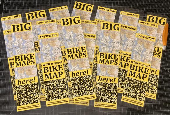
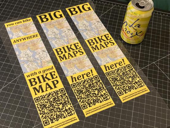
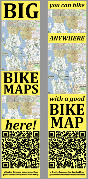
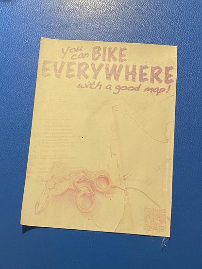
@ascentale @bikenite A8: I made up these! to go post today after the meetup in Shoreline.
nine months and before I took it down the QR code still read
(doesn’t now tho)
I think that’s very respectable for homemade
also 61st ave ne in kenmore appears to have its final pavement layer so looks ready for paint next week, on schedule for bike lanes to the county line by end of month
shoreline or someone is painting rough-in lines for bike lane extensions north on 5th next to shoreline south