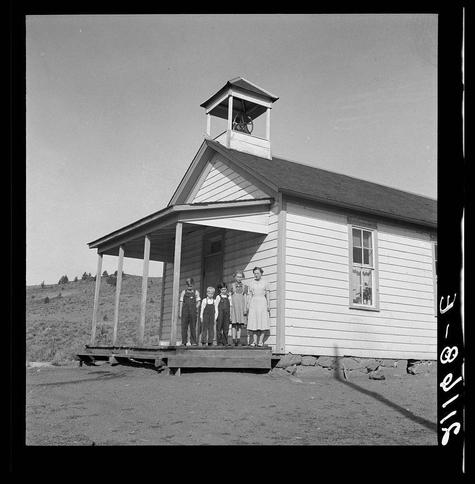
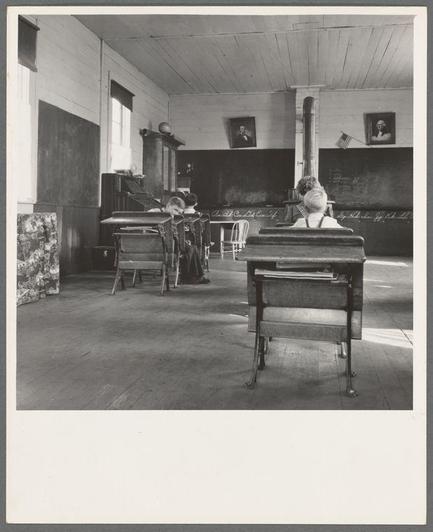
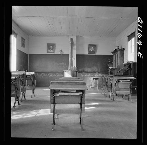
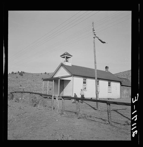
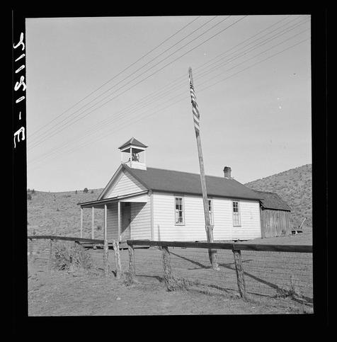
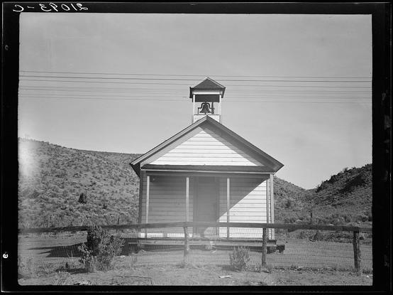
9:00 a.m. Four pupils attend this day, of the seven who are enrolled at the eastern Oregon county school. Between Pleasant Valley and Durkee, Baker County, Oregon
#Oregon #PleasantValley #Durkee #BakerCounty #America #American #undefined #photography #DorotheaLange