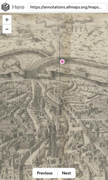
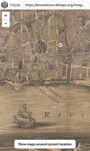
Using GPS in the year 1565
There’s a wonderful web app (“Allmaps Here”) that shows your GPS location on old maps. I love it.
www.verbeeld.be/2024/11/17/u...
#maps #allmapshere #cartography #georeferencing

Navigating to Antwerp Central Station on a slightly dated map, would seem to bring me outside of the city.
More info: https://www.verbeeld.be/2024/11/17/using-gps-in-the-year-1565/
This specific map: https://here.allmaps.org/?url=https%3A%2F%2Fannotations.allmaps.org%2Fmaps%2F977e83b4accc75f7
#maps #allmapshere #cartography #georeferencing #trains #publictransport

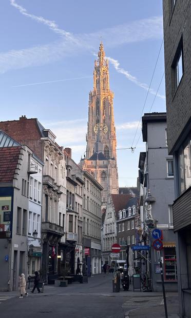
Wherever you are, it’s so very cool to open an old map and to imagine you’re using a GPS a couple of hundred years ago… when that same cathedral was there too, with the same sunlight…
https://www.verbeeld.be/2024/11/17/using-gps-in-the-year-1565/
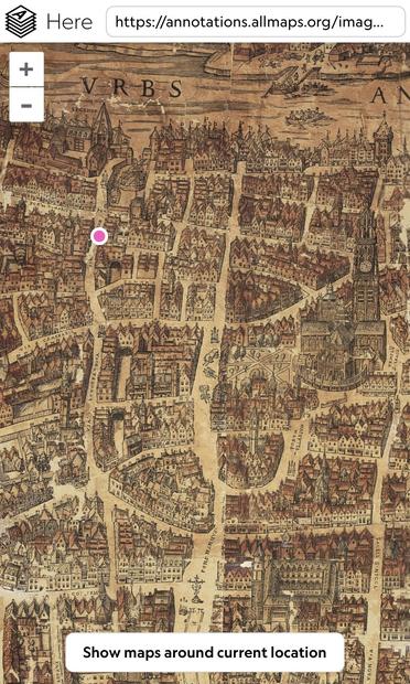
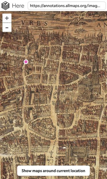
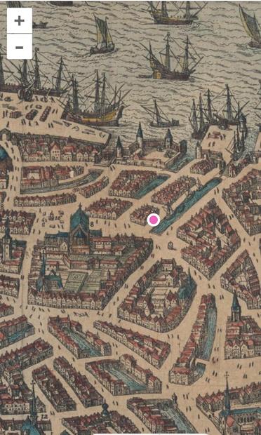
Using GPS on old city maps 🗺️
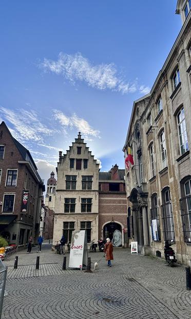
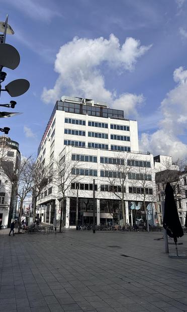
There used to be a canal where this big white office building is now. I’ve taken this photo from the location of the pink dot on the map.
How to place your GPS location on an old map near you: https://www.verbeeld.be/2024/11/17/using-gps-in-the-year-1565/
This specific map of Antwerp can be found here: https://here.allmaps.org/?url=https%3A%2F%2Fannotations.allmaps.org%2Fmaps%2Fc3cc246df5ba4455
Using GPS in the year 1565
There’s a wonderful web app (“Allmaps Here”) that shows your GPS location on old maps. I love it.
https://www.verbeeld.be/2024/11/17/using-gps-in-the-year-1565/