@jakelow

29 Followers
33 Following
9 Posts
@foss4gna @nickrsan @MicheleTobias I saw that the video title and thumbnail have been updated. Thank you for getting in touch with Project Geospatial and asking them to resolve this. I know that FOSS4GNA is volunteer run and staying on top of all of the details is hard, so I appreciate the time you spent looking into this.

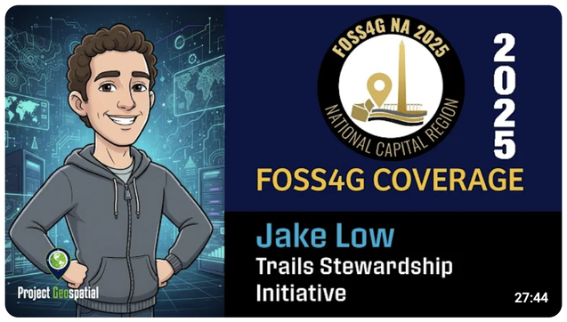
Well, this is gross. Last year I presented at #foss4gna. Today I learned that the recording which was posted online (1) doesn't mention my co-presenter Maggie Cawley anywhere in the title or description, and (2) features this cringe AI-generated cartoon likeness of me that was made without my consent.

@foss4gna care to explain? The YouTube channel belongs to "Project Geospatial" whose website appears to be a firehose of AI slop. Does not make me want to participate in future FOSS4GNA events.

Mark your calendars for January 24 & 25! This virtual conference will feature two days of talks, workshops, and all things OpenStreetMap. Mapping USA 2025 Call for Proposals and registration are now live.

Come tell us what you're up to! Hear about what great things other folks are doing! Bask in the incredible vibes!

https://openstreetmap.us/news/2024/10/Mapping-USA-2025/

#MappingUSA2025 #OpenStreetMap

Mapping USA Call for Proposals and Registration Now Open!

January 24th & 25th 2025Grab a cozy blanket, a mug of hot cocoa, and log in for the fifth year of Mapping USA with OpenStreetMap US! Join fellow mappers, advocates, educators, and OSM enthusiasts for two...

Been experimenting recently with simple image processing routines (e.g. brightness, contrast, gamma transforms) in #javascript. For modest resolution inputs, the performance of a naive implementation is surprisingly good. You can try it out in this #observablehq notebook:

https://observablehq.com/@jake-low/image-processing-point-operations

Image processing: point operations

An Observable notebook by Jake Low.

jakelow (Jake Low) | Keybase

jakelow (Jake Low) is now on Keybase, an open source app for encryption and cryptography.

I made an Observable notebook to visualize the shape of satellite ground tracks. You can play with the orbit parameters and see the effect in real time.

https://beta.observablehq.com/@jake-low/satellite-ground-track-visualizer

#javascript #d3js #threejs #space

Satellite ground track visualizer

An Observable notebook by Jake Low

Using D3 to project geospatial data onto images from Japan's Himawari 8 weather satellite:

https://beta.observablehq.com/@jake-low/view-from-himawari-8

#javascript #d3js #space

View from Himawari 8

An Observable notebook by Jake Low

@cbowdon If you're still interested in Caddy you should be aware of this:

https://caddyserver.com/blog/accouncing-caddy-commercial-licenses.html

In summary, Caddy is still open-source (Apache 2.0) but the precompiled binaries available from caddyserver.com have a new EULA that requires you to pay if you're a commercial user. Also the non-commercial builds emit a new HTTP response header that advertises Caddy's sponsors.

Interesting discussion about this announcement on HN:

https://news.ycombinator.com/item?id=15237923

Announcing Caddy Commercial Licenses

Today, we're pleased to unveil something we've been working diligently on for the past few months: Caddy Commercial Licenses. This change is designed to accommodate the needs of the growing Caddy community and user base. With commercial licenses, we're able to offer exclusive features and services to our business users that we couldn't do before, while sustaining Caddy's open source development. We're even starting today with one new service for our customers, with more planned!